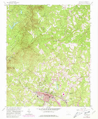
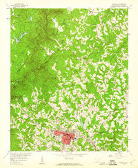
1959 Map of Walhalla
USGS Topo · Published 1981About this map
Walhalla and West Union serve as the commercial hubs of this Oconee County landscape, where the Blue Ridge foothills meet the Piedmont. The map reveals a fascinating layering of transportation history, from the Southern railroad lines serving the towns to the remnants of the Old Railroad Grade and the notable Stumphouse Mtn (Tunnel) and Saddle Tunnel (abandoned) to the west. These features, along with the Oconee Station landmark, speak to the area's long-standing role as a gateway through the mountains.
Find a feature on this map
54 named features on this map. Tap any name to fly to it.
Don’t see what you’re looking for? This feature index may not catch every label — zoom into the map to look around manually.
Map Details
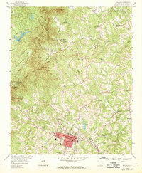
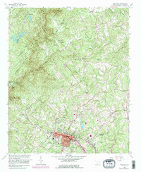
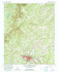
Editions of this 1959 Walhalla Map
5 editions found
Other maps of this area

1886 · Walhalla
USGS Topo · 1:125,000

1888 · Pickens
USGS Topo · 1:125,000

1892 · Walhalla
USGS Topo · 1:125,000

1894 · Pickens
USGS Topo · 1:125,000

1896 · Walhalla
USGS Topo · 1:125,000

1954 · Greenville
USGS Topo · 1:250,000

1958 · Greenville
USGS Topo · 1:250,000

1958 · Seneca
USGS Topo · 1:24,000

1959 · Salem
USGS Topo · 1:24,000
1959 · Walhalla
USGS Topo · 1:24,000