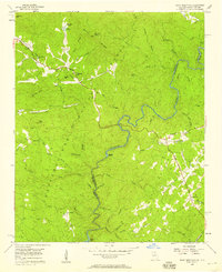
1957 Map of Rainy Mountain
USGS Topo · Published 1958About this map
The Chattooga River forms a winding natural border between Georgia and South Carolina, anchoring this mid-century survey of the Chattahoochee National Forest. This interior mountain landscape is defined by its network of high ridges and narrow creek valleys, where small communities established themselves along the early road system. On the Georgia side, churches like New Hope Ch, Chechero Ch, and Wolf Creek Ch suggest the localized centers of social life in the 1950s. The presence of Rainy Mtn Camp near Lake Toccoa points to the area's development for recreation, while the Gaging Sta on the river indicates the ongoing management of the region's water resources. In South Carolina, the settlement at Longcreek and the Laurel Spring Ch serve as significant markers for local genealogists tracing family roots in Oconee County.
Find a feature on this map
54 named features on this map. Tap any name to fly to it.
Don’t see what you’re looking for? This feature index may not catch every label — zoom into the map to look around manually.
Map Details
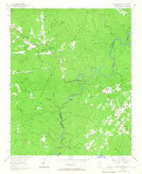
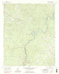
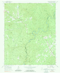
Editions of this 1957 Rainy Mountain Map
4 editions found
Other maps of this area

1886 · Walhalla
USGS Topo · 1:125,000

1892 · Walhalla
USGS Topo · 1:125,000

1896 · Walhalla
USGS Topo · 1:125,000

1935 · Dillard
USGS Topo · 1:24,000

1935 · Rabun Bald
USGS Topo · 1:24,000
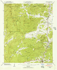
1946 · Dillard
USGS Topo · 1:24,000
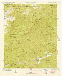
1946 · Rabun Bald
USGS Topo · 1:24,000
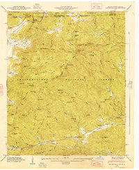
1947 · Rabun Bald
USGS Topo · 1:24,000
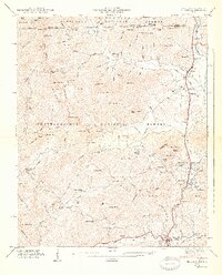
1947 · Dillard
USGS Topo · 1:24,000

1953 · Tallulah Falls
USGS Topo · 1:24,000