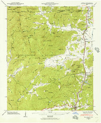
1946 Map of Dillard
USGS Topo · Published 1956About this map
Tallulah Falls RR winds through the mountain passes of Rabun County, anchoring the valley's connection to the outside world just after the mid-century. This survey captures a landscape where industry and education are deeply rooted in the terrain, evidenced by the Queen Mine near Queen Mine Gap and the sprawling campus of the Rabun Gap Nacoochee Sch. The Tennessee Valley Divide separates the waters flowing toward the Little Tennessee River from those feeding the Tallulah River to the south.
Find a feature on this map
136 named features on this map. Tap any name to fly to it.
Don’t see what you’re looking for? This feature index may not catch every label — zoom into the map to look around manually.
Map Details
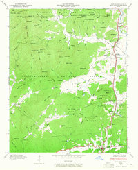
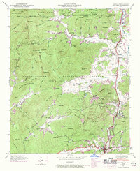
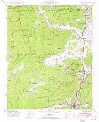
Editions of this 1946 Dillard Map
4 editions found
Other maps of this area

1886 · Dahlonega
USGS Topo · 1:125,000

1886 · Walhalla
USGS Topo · 1:125,000

1891 · Cowee
USGS Topo · 1:125,000

1892 · Dahlonega
USGS Topo · 1:125,000

1892 · Walhalla
USGS Topo · 1:125,000

1896 · Walhalla
USGS Topo · 1:125,000

1896 · Dahlonega
USGS Topo · 1:125,000

1897 · Cowee
USGS Topo · 1:125,000

1903 · Dahlonega
USGS Topo · 1:125,000

1907 · Cowee
USGS Topo · 1:125,000