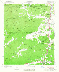
1946 Map of Dillard
USGS Topo · Published 1965About this map
Clayton and Dillard anchor this mid-century topographic survey at the northern edge of the Chattahoochee National Forest. The landscape is defined by the sharp Tennessee Valley and the Blue Ridge divide, where the Little Tennessee River and Tallulah River draw water toward opposing watersheds. This 1946 examination details a community structured by mountain gaps and valley floors, notably at Rabun Gap, which serves as a vital corridor for both road and rail. The map provides a census of local landmarks, including the Rabun Gap Nacoochee Sch and numerous country churches like Wolf Fork Ch and Betty Creek Ch. Higher elevations are marked by family-named peaks and gaps, such as Patterson Gap and Nichols Gap, reflecting a deeply rooted settlement pattern before later modern developments. The inclusion of Reservoirs and local camps like Camp Dixie indicates the area's mid-century role as a hub for both utility and recreation.
Find a feature on this map
124 named features on this map. Tap any name to fly to it.
Don’t see what you’re looking for? This feature index may not catch every label — zoom into the map to look around manually.
Map Details
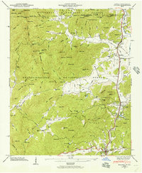
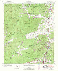
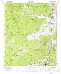
Editions of this 1946 Dillard Map
4 editions found
Other maps of this area

1886 · Dahlonega
USGS Topo · 1:125,000

1886 · Walhalla
USGS Topo · 1:125,000

1891 · Cowee
USGS Topo · 1:125,000

1892 · Dahlonega
USGS Topo · 1:125,000

1892 · Walhalla
USGS Topo · 1:125,000

1896 · Walhalla
USGS Topo · 1:125,000

1896 · Dahlonega
USGS Topo · 1:125,000

1897 · Cowee
USGS Topo · 1:125,000

1903 · Dahlonega
USGS Topo · 1:125,000

1907 · Cowee
USGS Topo · 1:125,000