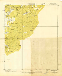
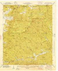
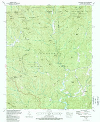
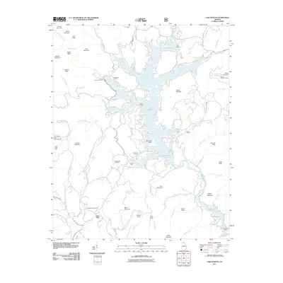
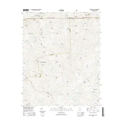
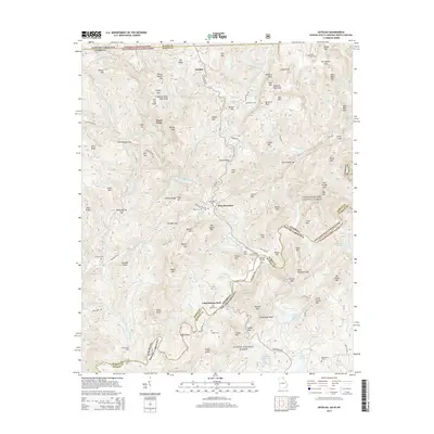
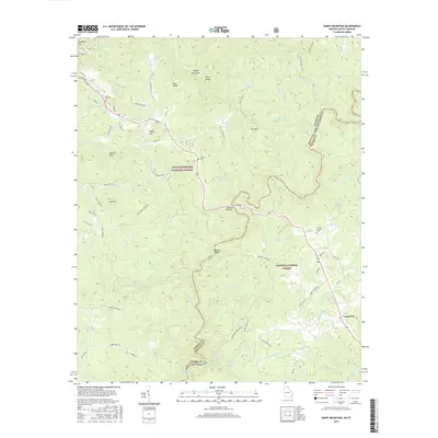
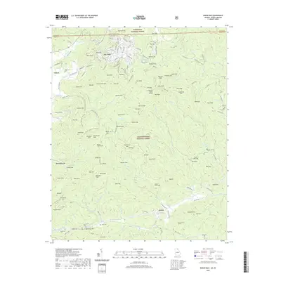
1957 Map of Rainy Mountain
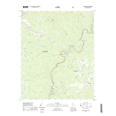
USGS Topo · Published 1990About this map
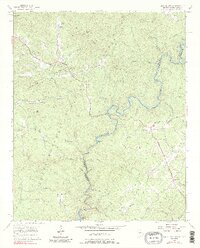
The Chattooga River forms a winding natural boundary between Georgia and South Carolina, cutting through the heart of the Chattahoochee National Forest. This mid-century survey captures a landscape defined by sharp ridges and deep creek valleys, where mountain life centered around small country churches and family cemeteries. Significant community landmarks like New Hope Ch, Chechero Ch, and the Camp Creek Cem are documented alongside the Lookout Mountain Scenic Highway, illustrating the region's mid-century accessibility. From the heights of Rainy Mtn to the shoreline of Lake Toccoa, the map preserves the exact locations of remote mountain camps and the complex drainage network of Stekoa Creek and Wolf Creek before significant modern development altered these rural corridors.
Find a feature on this map
60 named features on this map. Tap any name to fly to it.
Don’t see what you’re looking for? This feature index may not catch every label — zoom into the map to look around manually.
Map Details
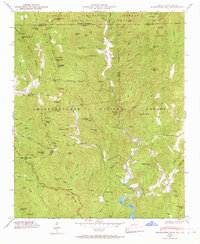
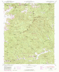
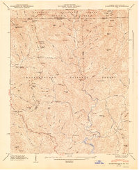
Editions of this 1957 Rainy Mountain Map
4 editions found
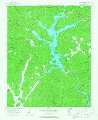
Historical Maps of Long Creek Through Time
37 maps found
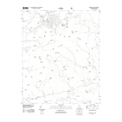
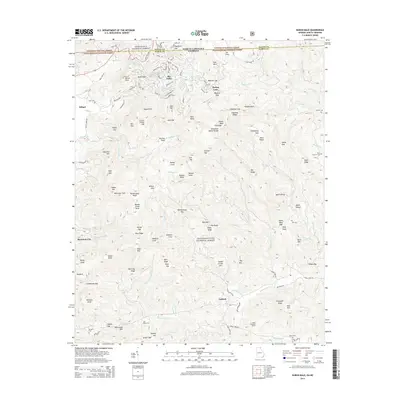
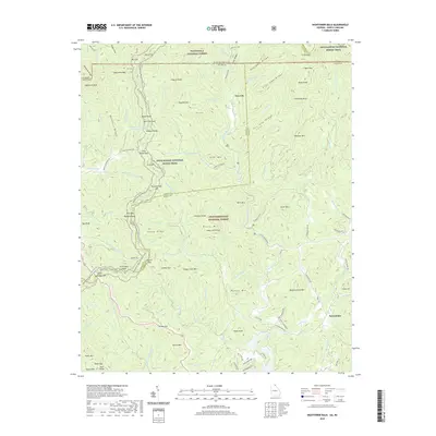
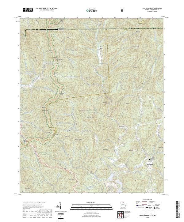
1935 Hightower Bald
Rabun County, GA
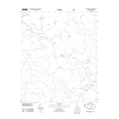
1935 Rabun Bald
Rabun County, GA
1946 Hightower Bald
Rabun County, GA
1946 Rabun Bald
Rabun County, GA
1947 Hightower Bald
Rabun County, GA
1947 Rabun Bald
Rabun County, GA
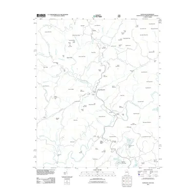
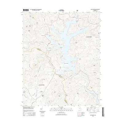
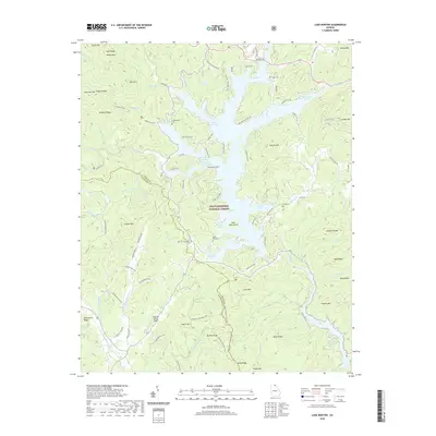
1957 Lake Burton
Rabun County, GA
1957 Rainy Mountain
Rabun County, GA
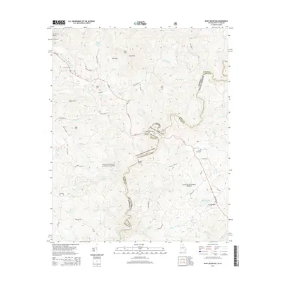
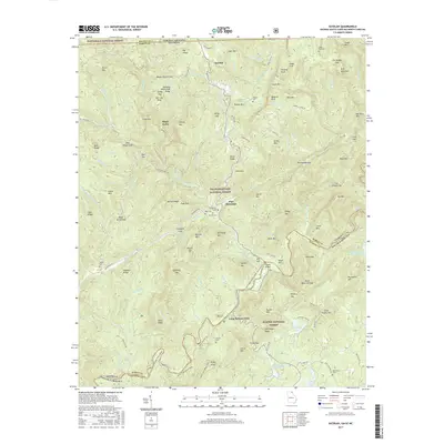
1961 Satolah
Rabun County, GA
1988 Hightower Bald
Rabun County, GA
1988 Rabun Bald
Rabun County, GA
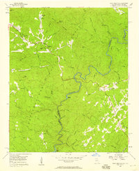
1997 Rainy Mountain
Rabun County, GA
2011 Hightower Bald
Rabun County, GA
2011 Lake Burton
Rabun County, GA
2011 Rabun Bald
Rabun County, GA
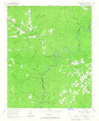
2011 Rainy Mountain
Rabun County, GA
2011 Satolah
Rabun County, GA
2014 Hightower Bald
Rabun County, GA
2014 Lake Burton
Rabun County, GA
2014 Rabun Bald
Rabun County, GA
2014 Rainy Mountain
Rabun County, GA
2014 Satolah
Rabun County, GA
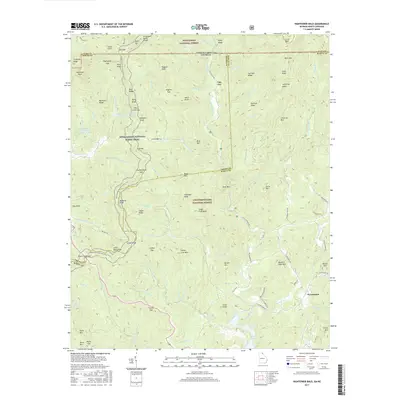
2017 Hightower Bald
Rabun County, GA
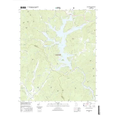
2017 Lake Burton
Rabun County, GA
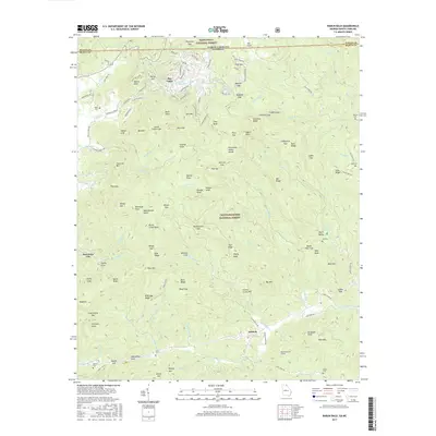
2017 Rabun Bald
Rabun County, GA
2017 Rainy Mountain
Rabun County, GA
2017 Satolah
Rabun County, GA
2020 Hightower Bald
Rabun County, GA
2020 Lake Burton
Rabun County, GA
2020 Rabun Bald
Rabun County, GA
2020 Rainy Mountain
Rabun County, GA
2020 Satolah
Rabun County, GA
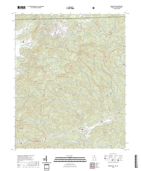
2024 Hightower Bald
Rabun County, GA
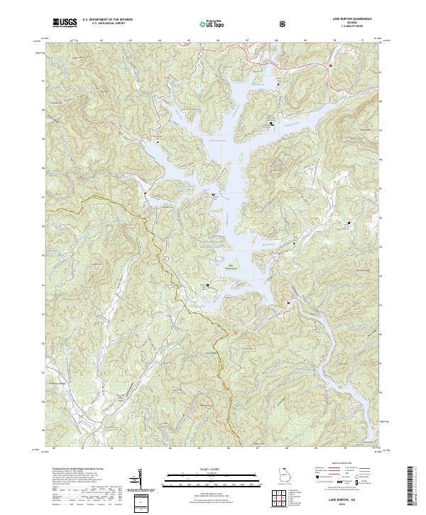
2024 Lake Burton
Rabun County, GA
2024 Rabun Bald
Rabun County, GA
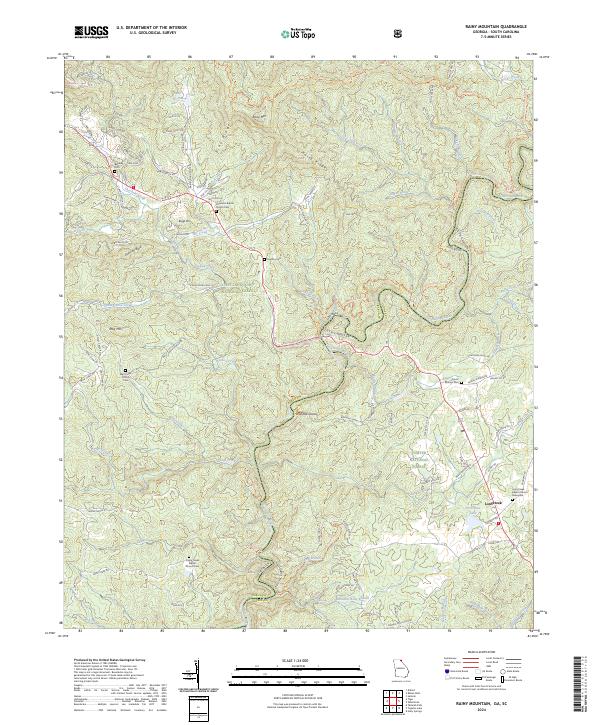
2024 Rainy Mountain
Rabun County, GA
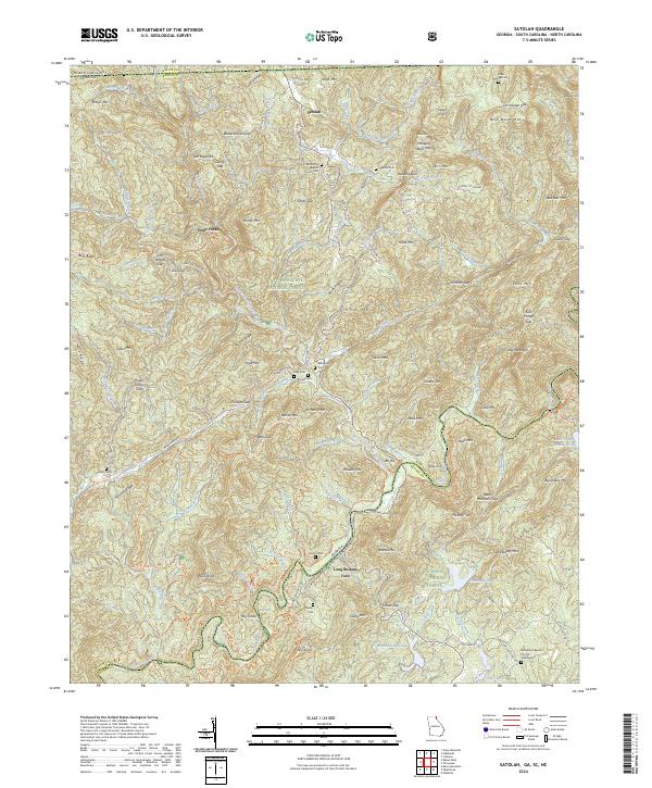
2024 Satolah
Rabun County, GA