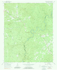
1957 Map of Rainy Mountain
USGS Topo · Published 1990About this map
The Chattooga River forms a winding natural border between Georgia and South Carolina in this mid-century survey of the Blue Ridge foothills. Heavily forested and sparsely populated, the landscape is defined by the Chattahoochee National Forest and high points such as Screamer Mtn and Rainy Mtn. The Lookout Mountain Scenic Highway provides one of the few major transit corridors through the terrain, connecting small rural centers marked by local gathering places like Chechero Ch and New Hope Ch.
Find a feature on this map
51 named features on this map. Tap any name to fly to it.
Don’t see what you’re looking for? This feature index may not catch every label — zoom into the map to look around manually.
Map Details
Editions of this 1957 Rainy Mountain Map
4 editions found
Other maps of this area

1886 · Walhalla
USGS Topo · 1:125,000

1892 · Walhalla
USGS Topo · 1:125,000

1896 · Walhalla
USGS Topo · 1:125,000

1935 · Dillard
USGS Topo · 1:24,000

1935 · Rabun Bald
USGS Topo · 1:24,000
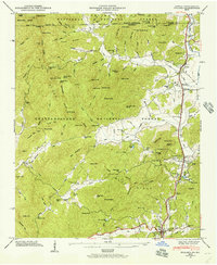
1946 · Dillard
USGS Topo · 1:24,000
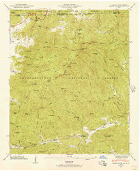
1946 · Rabun Bald
USGS Topo · 1:24,000
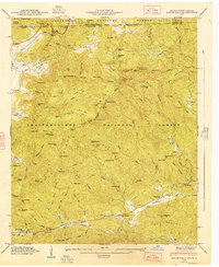
1947 · Rabun Bald
USGS Topo · 1:24,000
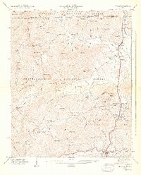
1947 · Dillard
USGS Topo · 1:24,000

1953 · Tallulah Falls
USGS Topo · 1:24,000