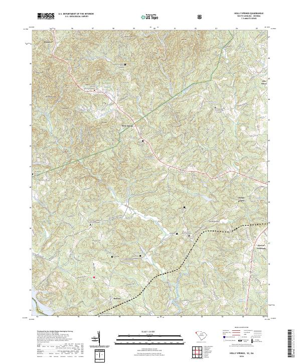
2024 Map of Holly Springs
USGS Topo · Published 2024About this map
Sumter National Forest defines the upland character of this Oconee County landscape, where the Chauga River and Toxaway Creek carve through a terrain marked by numerous family-named peaks and ridges. The settlement pattern is largely dispersed, with small communities like Holly Springs and Brasstown anchored by local institutions such as Holly Springs Baptist Church and its associated graveyard.
Find a feature on this map
145 named features on this map. Tap any name to fly to it.
Don’t see what you’re looking for? This feature index may not catch every label — zoom into the map to look around manually.
Map Details
Editions of this 2024 Holly Springs Map
This is the sole edition of this map. No revisions or reprints were ever made.
Other maps of this area

1886 · Walhalla
USGS Topo · 1:125,000

1892 · Walhalla
USGS Topo · 1:125,000

1896 · Walhalla
USGS Topo · 1:125,000

1954 · Greenville
USGS Topo · 1:250,000
1957 · Tugaloo Lake
USGS Topo · 1:24,000
1957 · Rainy Mountain
USGS Topo · 1:24,000

1958 · Greenville
USGS Topo · 1:250,000
1959 · Walhalla
USGS Topo · 1:24,000
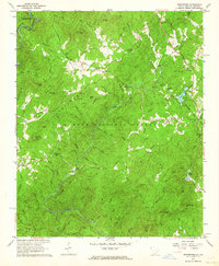
1961 · Whetstone
USGS Topo · 1:24,000
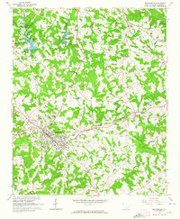
1963 · Westminster
USGS Topo · 1:24,000