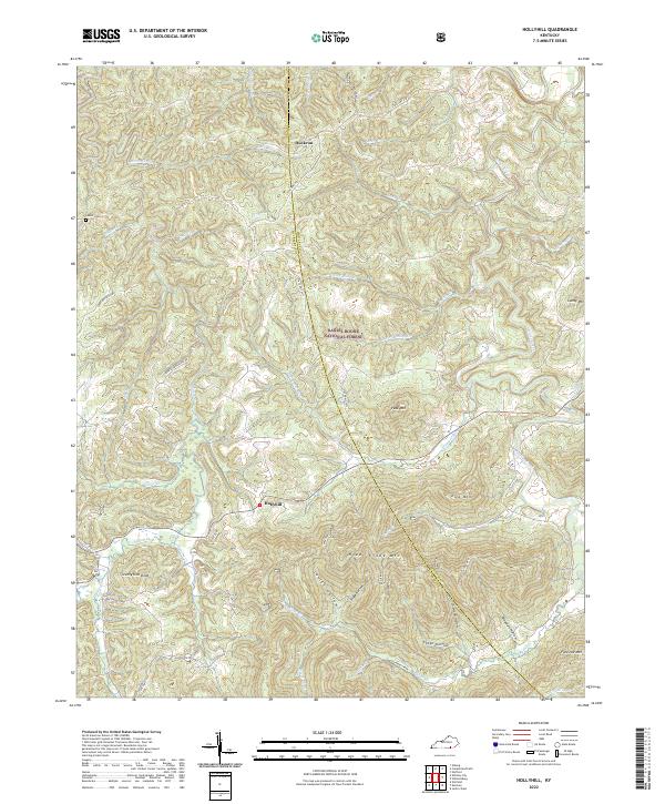
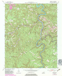
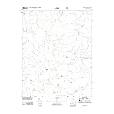
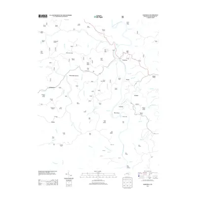
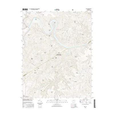
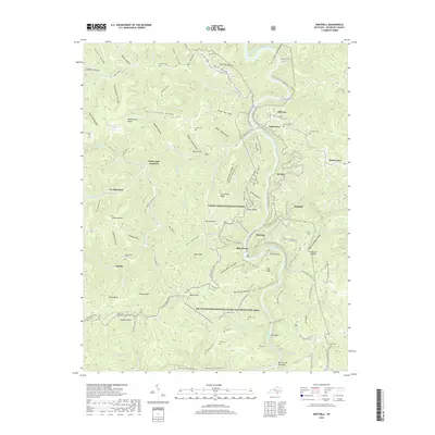
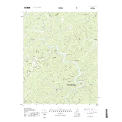
2022 Map of Hollyhill
USGS Topo · Published 2022About this map
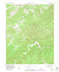
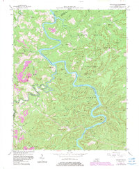
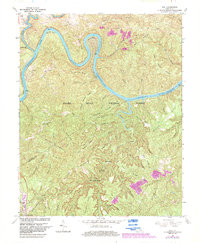
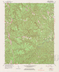
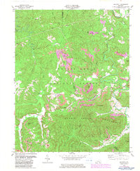
Hollyhill and Duckrun anchor this section of the Cumberland Plateau, where the winding waters of Marsh Creek and Jellico Creek carve deep into the sandstone landscape. The terrain is characterized by high ridges and prominent peaks like Peak Mtn and Liza Mtn, much of which falls within the protected boundaries of the Daniel Boone National Forest. A network of hollows—including Chitwood Hollow, Lovitt Hollow, and Seago Hollow—reveals the traditional settlement patterns where families sought level ground between the steep slopes.
Find a feature on this map
46 named features on this map. Tap any name to fly to it.
Don’t see what you’re looking for? This feature index may not catch every label — zoom into the map to look around manually.
Map Details
Editions of this 2022 Hollyhill Map
This is the sole edition of this map. No revisions or reprints were ever made.
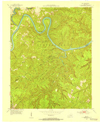
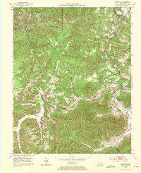
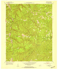
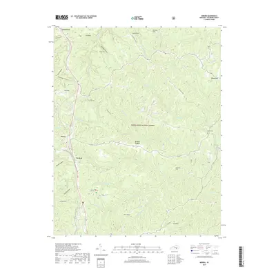
Historical Maps of Hollyhill Through Time
40 maps found

1934 Barthell
McCreary County, KY
1952 Hail
McCreary County, KY
1952 Hollyhill
McCreary County, KY
1952 Wiborg
McCreary County, KY
1954 Barthell
McCreary County, KY
1954 Bell Farm
McCreary County, KY
1954 Nevelsville
McCreary County, KY
1963 Hail
McCreary County, KY
1963 Wiborg
McCreary County, KY
1979 Hollyhill
McCreary County, KY
2010 Barthell
McCreary County, KY
2010 Bell Farm
McCreary County, KY
2010 Hollyhill
McCreary County, KY
2010 Nevelsville
McCreary County, KY
2010 Wiborg
McCreary County, KY
2011 Hail
McCreary County, KY
2013 Barthell
McCreary County, KY
2013 Bell Farm
McCreary County, KY
2013 Hail
McCreary County, KY
2013 Hollyhill
McCreary County, KY
2013 Nevelsville
McCreary County, KY
2013 Wiborg
McCreary County, KY
2016 Barthell
McCreary County, KY
2016 Bell Farm
McCreary County, KY
2016 Hail
McCreary County, KY
2016 Hollyhill
McCreary County, KY
2016 Nevelsville
McCreary County, KY
2016 Wiborg
McCreary County, KY
2019 Barthell
McCreary County, KY
2019 Bell Farm
McCreary County, KY
2019 Hail
McCreary County, KY
2019 Hollyhill
McCreary County, KY
2019 Nevelsville
McCreary County, KY
2019 Wiborg
McCreary County, KY
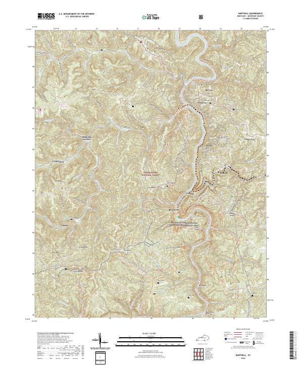
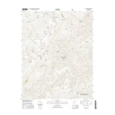
2022 Barthell
McCreary County, KY
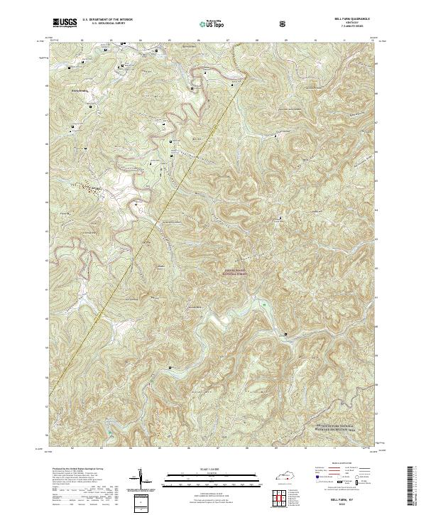
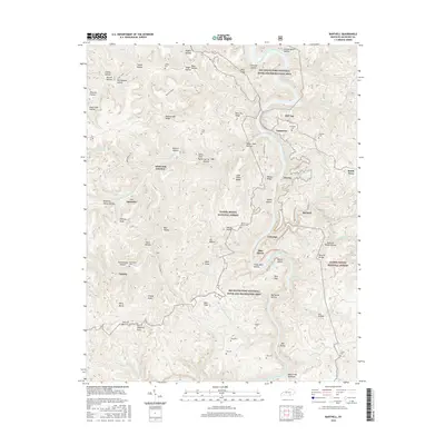
2022 Bell Farm
McCreary County, KY
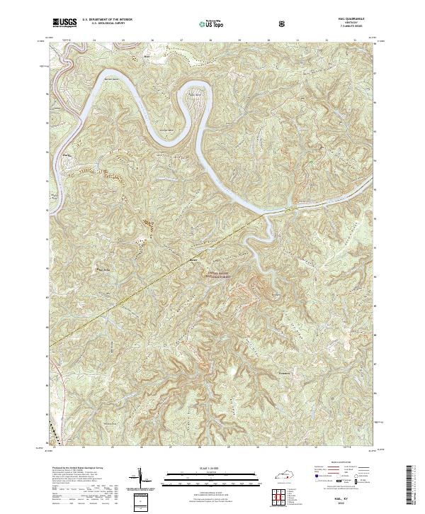
2022 Hail
McCreary County, KY
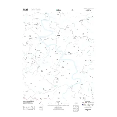
2022 Hollyhill
McCreary County, KY
2022 Nevelsville
McCreary County, KY
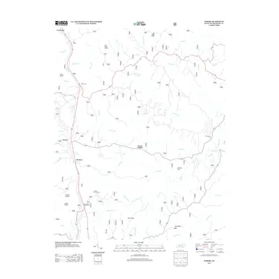
2022 Wiborg
McCreary County, KY