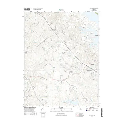
2016 Map of Hollywood
USGS Topo · Published 2016About this map
The Saint Marys River and its numerous tributary creeks define the landscape of this southern Maryland peninsula, where the settlement of Hollywood sits at a central crossroads. Long-established communities like Leonardtown and the burgeoning area of California show the continued importance of historic road networks like Three Notch Rd. The interior is dotted with significant local landmarks including Saint Johns Cem and Our Ladys Chapel Cem, which offer tangible links to the county's deep Catholic heritage and genealogical history.
Find a feature on this map
195 named features on this map. Tap any name to fly to it.
Don’t see what you’re looking for? This feature index may not catch every label — zoom into the map to look around manually.
Map Details
Editions of this 2016 Hollywood Map
This is the sole edition of this map. No revisions or reprints were ever made.
Other maps of this area

1892 · Leonardtown
USGS Topo · 1:62,500

1892 · Drum Point
USGS Topo · 1:62,500

1892 · Piney Point
USGS Topo · 1:62,500

1894 · Piney Point
USGS Topo · 1:62,500

1894 · Point Lookout
USGS Topo · 1:62,500

1895 · Leonardtown
USGS Topo · 1:62,500

1895 · Nomini
USGS Topo · 1:125,000

1895 · Piney Point
USGS Topo · 1:62,500

1898 · Nomini
USGS Topo · 1:125,000

1898 · St. Marys
USGS Topo · 1:125,000
Featured Places
- Lexington Park, MD
- California, Lexington Park
- Wildewood, Lexington Park
- Leonardtown, MD
- Fenwick Manor, MD