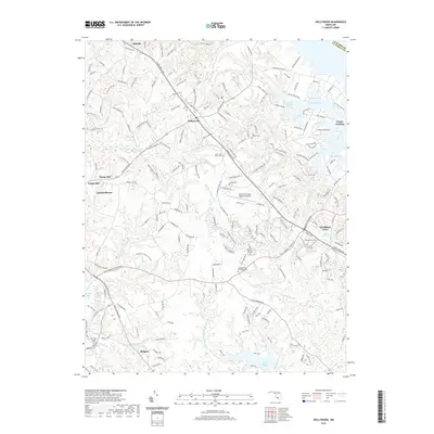
2019 Map of Hollywood
USGS Topo · Published 2019About this map
Hollywood and the surrounding Potomac River peninsula of Saint Mary's County appear here in detail, defined by a complex network of coastal inlets and rural road systems. The landscape is deeply incised by tidal waters, including Cuckold Creek and the southern reaches of Breton Bay, while the Saint Marys River and its Western Branch drain toward the south. Historically significant sites are frequent across the terrain, notably Our Ladys Chapel Cem near Redgate and the Saint Andrews Episcopal Cem along Saint Andrews Church Rd. Modern infrastructure like the St Mary's County Regional Airport is situated between traditional settlements like Clarks Landing and Leonardtown, illustrating the continued importance of this corridor as a regional hub for transportation and Maryland maritime heritage.
Find a feature on this map
48 named features on this map. Tap any name to fly to it.
Don’t see what you’re looking for? This feature index may not catch every label — zoom into the map to look around manually.
Map Details
Editions of this 2019 Hollywood Map
This is the sole edition of this map. No revisions or reprints were ever made.
Other maps of this area

1892 · Leonardtown
USGS Topo · 1:62,500

1892 · Drum Point
USGS Topo · 1:62,500

1892 · Piney Point
USGS Topo · 1:62,500

1894 · Piney Point
USGS Topo · 1:62,500

1894 · Point Lookout
USGS Topo · 1:62,500

1895 · Leonardtown
USGS Topo · 1:62,500

1895 · Nomini
USGS Topo · 1:125,000

1895 · Piney Point
USGS Topo · 1:62,500

1898 · Nomini
USGS Topo · 1:125,000

1898 · St. Marys
USGS Topo · 1:125,000
Featured Places
- Lexington Park, MD
- California, Lexington Park
- Wildewood, Lexington Park
- Leonardtown, MD
- Fenwick Manor, MD