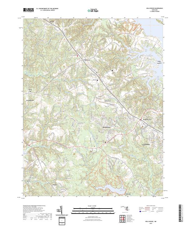
2023 Map of Hollywood
USGS Topo · Published 2023About this map
Hollywood and the surrounding St. Mary's County landscape appear here in a state of established modern development, characterized by the corridor along Three Notch Rd. This primary artery connects the suburban growth of California and Wildewood with older centers like Leonardtown and Hillville. The geography is defined by the intricate finger-like inlets and coves that feed into the Saint Marys River and Breton Bay, illustrating the enduring relationship between the community and the Chesapeake Tidewater region.
Find a feature on this map
53 named features on this map. Tap any name to fly to it.
Don’t see what you’re looking for? This feature index may not catch every label — zoom into the map to look around manually.
Map Details
Editions of this 2023 Hollywood Map
This is the sole edition of this map. No revisions or reprints were ever made.
Other maps of this area

1892 · Leonardtown
USGS Topo · 1:62,500

1892 · Drum Point
USGS Topo · 1:62,500

1892 · Piney Point
USGS Topo · 1:62,500
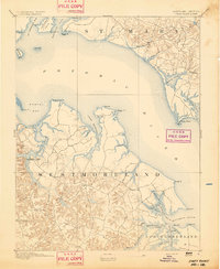
1894 · Piney Point
USGS Topo · 1:62,500
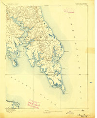
1894 · Point Lookout
USGS Topo · 1:62,500

1895 · Leonardtown
USGS Topo · 1:62,500

1895 · Nomini
USGS Topo · 1:125,000
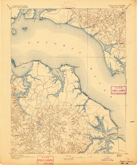
1895 · Piney Point
USGS Topo · 1:62,500

1898 · Nomini
USGS Topo · 1:125,000

1898 · St. Marys
USGS Topo · 1:125,000