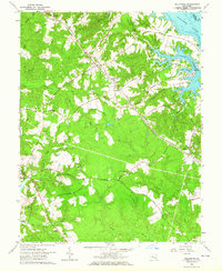
1963 Map of Hollywood
USGS Topo · Published 1964About this map
Steer Horn Neck and the surrounding Chesapeake Bay tributaries define the landscape of St. Mary's County in the early 1960s. The area around Hollywood and California shows a mix of rural agrarian life and federal infrastructure, most notably the U S Government Railroad cutting through the center of the sheet toward the Patuxent River. Local life is anchored by numerous spiritual and educational sites, including the Sacred Heart Novitiate and St Johns Sch.
Find a feature on this map
48 named features on this map. Tap any name to fly to it.
Don’t see what you’re looking for? This feature index may not catch every label — zoom into the map to look around manually.
Map Details
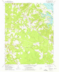
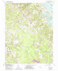
Editions of this 1963 Hollywood Map
3 editions found
Other maps of this area

1892 · Leonardtown
USGS Topo · 1:62,500

1892 · Drum Point
USGS Topo · 1:62,500

1892 · Piney Point
USGS Topo · 1:62,500

1894 · Piney Point
USGS Topo · 1:62,500

1894 · Point Lookout
USGS Topo · 1:62,500

1895 · Leonardtown
USGS Topo · 1:62,500

1895 · Nomini
USGS Topo · 1:125,000

1895 · Piney Point
USGS Topo · 1:62,500

1898 · Nomini
USGS Topo · 1:125,000

1898 · St. Marys
USGS Topo · 1:125,000
Featured Places
- Lexington Park, MD
- California, Lexington Park
- Wildewood, Lexington Park
- Leonardtown, MD
- Gillens Grove, MD