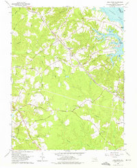
1963 Map of Hollywood
USGS Topo · Published 1975About this map
U S Government Railroad tracks slice through the heart of the St. Mary's County landscape, connecting the village of Hollywood with California to the southeast. This 1960s survey captures a rural Maryland peninsula defined by its deep relationship with the water, where the Patuxent River and Cuckold Creek meet at Steer Horn Neck. Inland, the terrain is a dense network of small drainages like Brooks Run and Moll Dyers Run that break the land into elevated plateaus. The map documents several significant religious and community sites, including the Sacred Heart Novitiate, Our Ladys Chapel, and the St Andrews Ch Cem. Traces of the local tobacco and timber economy are evident in the numerous Gravel Pits and the proximity of historic landings such as Clarks Landing and St Cuthbert Wharf, reflecting a period when river transport still anchored the local geography alongside the emerging road network of St Andrews Road.
Find a feature on this map
53 named features on this map. Tap any name to fly to it.
Don’t see what you’re looking for? This feature index may not catch every label — zoom into the map to look around manually.
Map Details
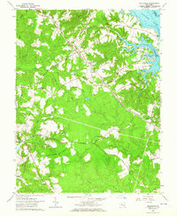
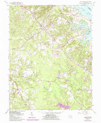
Editions of this 1963 Hollywood Map
3 editions found
Other maps of this area

1892 · Leonardtown
USGS Topo · 1:62,500

1892 · Drum Point
USGS Topo · 1:62,500

1892 · Piney Point
USGS Topo · 1:62,500

1894 · Piney Point
USGS Topo · 1:62,500

1894 · Point Lookout
USGS Topo · 1:62,500

1895 · Leonardtown
USGS Topo · 1:62,500

1895 · Nomini
USGS Topo · 1:125,000

1895 · Piney Point
USGS Topo · 1:62,500

1898 · Nomini
USGS Topo · 1:125,000

1898 · St. Marys
USGS Topo · 1:125,000
Featured Places
- Lexington Park, MD
- California, Lexington Park
- Wildewood, Lexington Park
- Leonardtown, MD
- Gillens Grove, MD