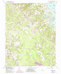
1963 Map of Hollywood
USGS Topo · Published 1985About this map
Hollywood and its surrounding St. Mary's County landscape are defined by the deep tidal indentations of the Patuxent River, where Cuckold Creek and Mill Creek carve into the coastal plain. The settlement pattern reflects a long history of maritime and agricultural dependence, evidenced by St Cuthbert Wharf and the numerous family-named landmarks like Sam Abell Cove and Moll Dyers Run. The interior shows a mid-century shift toward modern infrastructure, with the St Marys County Airport and the Pennsylvania Railroad corridor cutting through the rural terrain.
Find a feature on this map
47 named features on this map. Tap any name to fly to it.
Don’t see what you’re looking for? This feature index may not catch every label — zoom into the map to look around manually.
Map Details
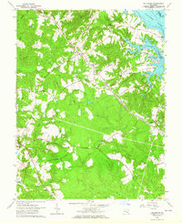
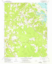
Editions of this 1963 Hollywood Map
3 editions found
Other maps of this area

1892 · Leonardtown
USGS Topo · 1:62,500

1892 · Drum Point
USGS Topo · 1:62,500

1892 · Piney Point
USGS Topo · 1:62,500

1894 · Piney Point
USGS Topo · 1:62,500

1894 · Point Lookout
USGS Topo · 1:62,500

1895 · Leonardtown
USGS Topo · 1:62,500

1895 · Nomini
USGS Topo · 1:125,000

1895 · Piney Point
USGS Topo · 1:62,500

1898 · Nomini
USGS Topo · 1:125,000

1898 · St. Marys
USGS Topo · 1:125,000
Featured Places
- Lexington Park, MD
- California, Lexington Park
- Wildewood, Lexington Park
- Leonardtown, MD
- Gillens Grove, MD