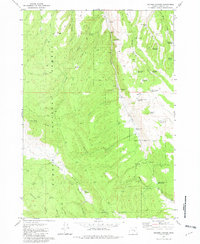
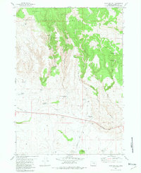
1981 Map of Holmes Canyon
USGS Topo · Published 1982About this map
Och Oco National Forest defines the western landscape of this Harney County region, where high ridges like Sundown Ridge and Elliott Ridge separate complex canyon systems. The 1981 terrain is marked by an extensive network of 4WD trails and small-scale water management features, including the Old Horton Mill (Site) and several stock-related reservoirs like Brads Reservoir and Miller Reservoir. The map illustrates a high-desert ranching and timber environment where water sources are vital, indicated by numerous labels for Springs and named catchments such as East Horton Basin Reservoir and Panel Spring Reservoir. Landmarks like Bald Butte and Dog Hill provide vertical relief above the deep cuts of Holmes Canyon and Winslow Canyon, reflecting a landscape managed for both national forest resources and local livestock grazing.
Find a feature on this map
42 named features on this map. Tap any name to fly to it.
Don’t see what you’re looking for? This feature index may not catch every label — zoom into the map to look around manually.
Map Details
Editions of this 1981 Holmes Canyon Map
This is the sole edition of this map. No revisions or reprints were ever made.
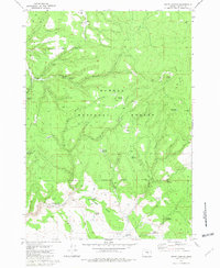
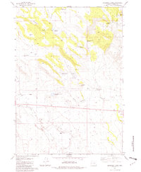
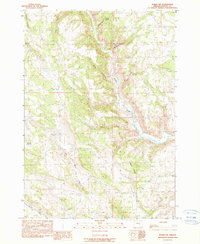
Other maps of this area

1955 · Burns
USGS Topo · 1:250,000

1958 · Burns
USGS Topo · 1:250,000

1959 · Burns
USGS Topo · 1:250,000
1959 · West Myrtle Butte
USGS Topo · 1:62,500
1959 · Sawtooth Creek
USGS Topo · 1:62,500
1960 · Burns
USGS Topo · 1:62,500
1981 · Sage Hen Hill
USGS Topo · 1:24,000
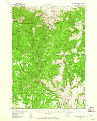
1981 · Egypt Canyon
USGS Topo · 1:24,000
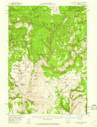
1981 · Oakerman Lakes
USGS Topo · 1:24,000
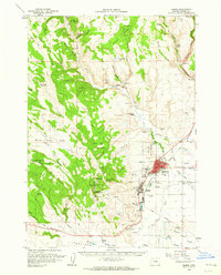
1990 · Burns NW
USGS Topo · 1:24,000