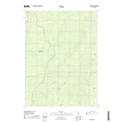
2018 Map of Holter Ridge
USGS Topo · Published 2018About this map
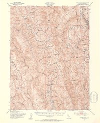
Redwood National Park dominates this coastal mountain landscape, where the Klamath River carves through the northern corner of the terrain. The map captures a complex network of ridgelines and creek drainages, including the prominent Pecwan Ridge and Holter Ridge. The presence of the Hancorne Ranch Rd and the opening at Pitt Place Prairie suggest the historic intersect of early ranching and grazing within these heavily timbered slopes. Modern conservation and recreation are represented by the Holter Ridge Bicycle Trail and the Lost Man Creek Trail, which navigate the steep elevations above Tectah Cr and Achelth Cr. In the south, the Bald Hills provide a distinct topographical transition from the densely wooded creek valleys that feed into the Klamath watershed.
Find a feature on this map
30 named features on this map. Tap any name to fly to it.
Don’t see what you’re looking for? This feature index may not catch every label — zoom into the map to look around manually.
Map Details
Editions of this 2018 Holter Ridge Map
This is the sole edition of this map. No revisions or reprints were ever made.
Other maps of this area
1925 · Hoopa
USGS Topo · 1:125,000
1945 · Orick
USGS Topo · 1:62,500
1945 · Trinidad
USGS Topo · 1:62,500
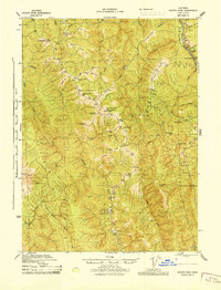
1945 · Coyote Peak
USGS Topo · 1:62,500
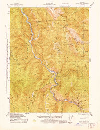
1945 · Tectah Creek
USGS Topo · 1:62,500

1948 · Weed
USGS Topo · 1:250,000
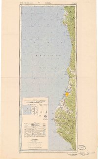
1949 · Eureka
USGS Topo · 1:250,000

1950 · Weed
USGS Topo · 1:250,000
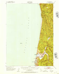
1952 · Orick
USGS Topo · 1:62,500
1952 · Coyote Peak
USGS Topo · 1:62,500