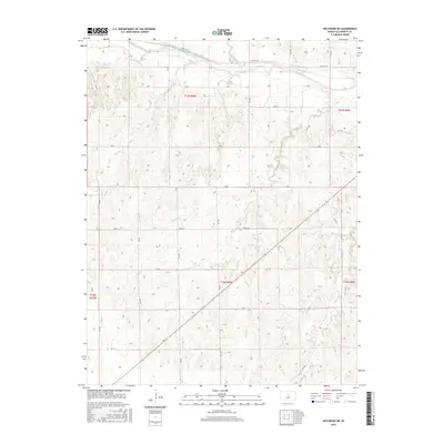
2015 Map of Holyrood NE
USGS Topo · Published 2015About this map
The Smoky Hill River winds across the northern reaches of this central Kansas landscape, a primary waterway that has shaped the drainage patterns of Ellsworth County for generations. Tributaries such as Buffalo Cr and Wolf Cr feed into the main channel from the surrounding prairie, defining the subtle relief of the terrain. The presence of Old Hwy 40 running parallel to the river reflects the historical importance of this corridor for transcontinental travel before the interstate era, following the natural contours of the river valley.
Find a feature on this map
21 named features on this map. Tap any name to fly to it.
Don’t see what you’re looking for? This feature index may not catch every label — zoom into the map to look around manually.
Map Details
Editions of this 2015 Holyrood NE Map
This is the sole edition of this map. No revisions or reprints were ever made.
Other maps of this area
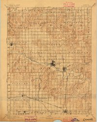
1894 · Ellsworth
USGS Topo · 1:125,000
1955 · Great Bend
USGS Topo · 1:250,000
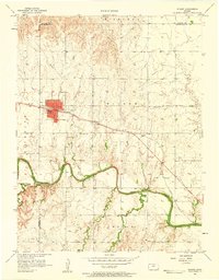
1956 · Wilson
USGS Topo · 1:24,000
1957 · Great Bend
USGS Topo · 1:250,000
1957 · Ellsworth
USGS Topo · 1:24,000
1957 · Westfall SW
USGS Topo · 1:24,000
1957 · Holyrood NE
USGS Topo · 1:24,000
1957 · Black Wolf
USGS Topo · 1:24,000
1958 · Great Bend
USGS Topo · 1:250,000
1964 · Holyrood NW
USGS Topo · 1:24,000