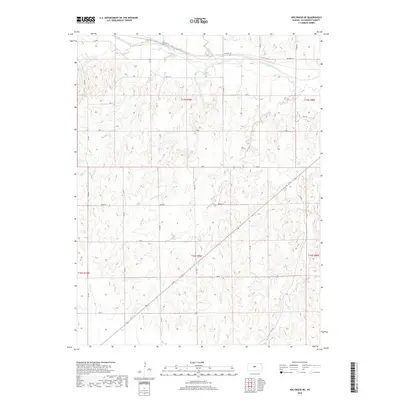
2018 Map of Holyrood NE
USGS Topo · Published 2018About this map
Smoky Hill River meanders across the northern portion of this Ellsworth County landscape, accompanied by the historical route of Old Hwy 40. The terrain is defined by a dense network of drainage systems, including Little Wolf Cr, Buffalo Cr, and Turkey Cr, which carve through the central and southern sections. This 2018 survey illustrates the persistent grid of the Public Land Survey System, with roads like 8th Rd and Ave L marking section boundaries. The path of Route 156 cuts diagonally across the southern half, providing a modern transport contrast to the winding creek beds and the older highway corridor to the north. This map captures the area's agricultural character and the complex hydrology of the Smoky Hill watershed.
Find a feature on this map
30 named features on this map. Tap any name to fly to it.
Don’t see what you’re looking for? This feature index may not catch every label — zoom into the map to look around manually.
Map Details
Editions of this 2018 Holyrood NE Map
This is the sole edition of this map. No revisions or reprints were ever made.
Other maps of this area
1894 · Ellsworth
USGS Topo · 1:125,000
1955 · Great Bend
USGS Topo · 1:250,000
1956 · Wilson
USGS Topo · 1:24,000
1957 · Great Bend
USGS Topo · 1:250,000
1957 · Ellsworth
USGS Topo · 1:24,000
1957 · Westfall SW
USGS Topo · 1:24,000
1957 · Holyrood NE
USGS Topo · 1:24,000
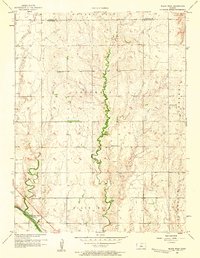
1957 · Black Wolf
USGS Topo · 1:24,000
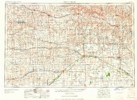
1958 · Great Bend
USGS Topo · 1:250,000
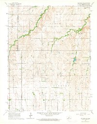
1964 · Holyrood NW
USGS Topo · 1:24,000