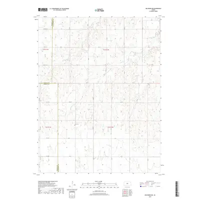
2018 Map of Holyrood NW
USGS Topo · Published 2018About this map
Palacky Cem serves as a quiet local landmark in this prairie landscape, where the borders of Russell, Ellsworth, and Barton counties converge. The terrain is defined by a dendritic network of seasonal drainages, most notably Blood Creek and Wolf Creek, which carve subtle valleys across the high plains. This 2018 survey reveals a highly organized township and range grid, where roads like Stickney Rd and Michaelis Rd follow section lines with mathematical precision. This geometric layout reflects the enduring legacy of the Public Land Survey System in central Kansas, maintaining a rural structure that has changed little in its basic orientation since the original homesteading era. Aside from the scattered watercourses such as Spring Creek and Lass Creek, the map focuses on the vital transportation arteries that connect these isolated agricultural plots.
Find a feature on this map
26 named features on this map. Tap any name to fly to it.
Don’t see what you’re looking for? This feature index may not catch every label — zoom into the map to look around manually.
Map Details
Editions of this 2018 Holyrood NW Map
This is the sole edition of this map. No revisions or reprints were ever made.
Other maps of this area
1894 · Ellsworth
USGS Topo · 1:125,000
1896 · Russell
USGS Topo · 1:125,000
1955 · Great Bend
USGS Topo · 1:250,000
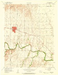
1956 · Wilson
USGS Topo · 1:24,000
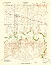
1956 · Dorrance
USGS Topo · 1:24,000
1957 · Great Bend
USGS Topo · 1:250,000
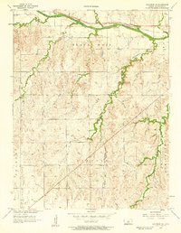
1957 · Holyrood NE
USGS Topo · 1:24,000
1957 · Black Wolf
USGS Topo · 1:24,000
1958 · Great Bend
USGS Topo · 1:250,000
1964 · Holyrood NW
USGS Topo · 1:24,000