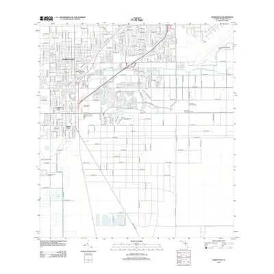
2012 Map of Homestead
USGS Topo · Published 2012About this map
The sprawling urban and agricultural boundary of Homestead and Florida City is defined here by a geometric grid of roads and an extensive network of drainage canals. The landscape reflects the area's development into a major logistics and transit hub, anchored by the Homestead Air Reserve Base to the northeast and the high-speed racing complex of the Homestead-Miami Speedway to the east. Modern commerce and education are prominent at Prime Outlets at Florida City and Miami Dade Community College.
Find a feature on this map
25 named features on this map. Tap any name to fly to it.
Don’t see what you’re looking for? This feature index may not catch every label — zoom into the map to look around manually.
Map Details
Editions of this 2012 Homestead Map
This is the sole edition of this map. No revisions or reprints were ever made.
Other maps of this area

1949 · Card Sound
USGS Topo · 1:24,000

1949 · Arsenicker Keys
USGS Topo · 1:24,000

1949 · Goulds
USGS Topo · 1:24,000

1949 · Perrine
USGS Topo · 1:24,000

1950 · Homestead
USGS Topo · 1:24,000

1950 · Glades
USGS Topo · 1:24,000

1956 · Goulds
USGS Topo · 1:24,000

1956 · Card Sound
USGS Topo · 1:24,000

1956 · Perrine
USGS Topo · 1:24,000

1956 · Grossman Hammock
USGS Topo · 1:24,000