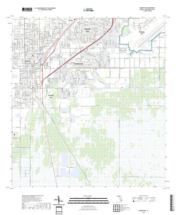
2024 Map of Homestead
USGS Topo · Published 2024About this map
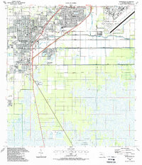
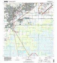
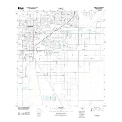
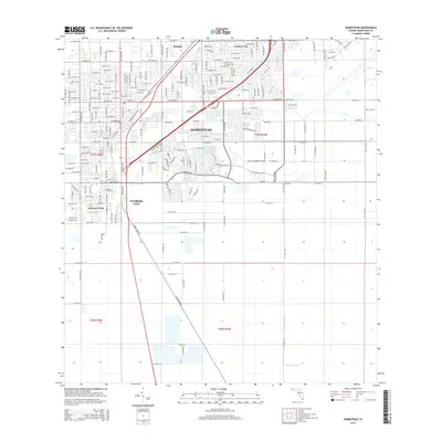
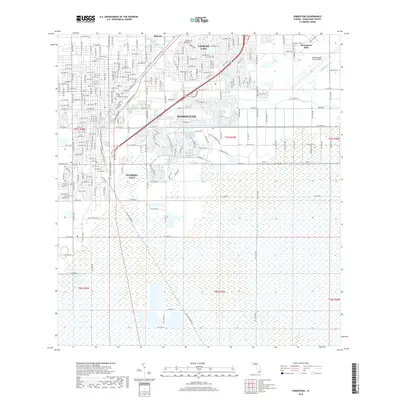
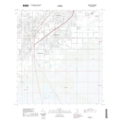
Florida City and Homestead anchor this southern Florida landscape, where a rigid grid of avenues and streets meets the extensive canal systems of the Everglades periphery. The map illustrates a high degree of land-use specialization, notably the expansive footprint of Homestead Air Reserve Base to the east and the Miami-Dade College Homestead Campus situated near the urban center. This modern era of transit is marked by the S Miami-Dade Busway, which follows the historic corridor of the Old Dixie Hwy.
Find a feature on this map
59 named features on this map. Tap any name to fly to it.
Don’t see what you’re looking for? This feature index may not catch every label — zoom into the map to look around manually.
Map Details
Editions of this 2024 Homestead Map
This is the sole edition of this map. No revisions or reprints were ever made.
Historical Maps of Homestead Through Time
10 maps found
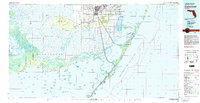
1950 Homestead
Miami-Dade County, FL
1956 Homestead
Miami-Dade County, FL
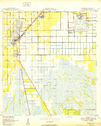
1982 Homestead
Miami-Dade County, FL
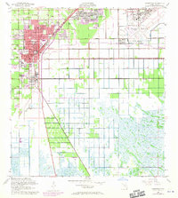
1988 Homestead
Miami-Dade County, FL
1994 Homestead
Miami-Dade County, FL
2012 Homestead
Miami-Dade County, FL
2015 Homestead
Miami-Dade County, FL
2018 Homestead
Miami-Dade County, FL
2021 Homestead
Miami-Dade County, FL
2024 Homestead
Miami-Dade County, FL