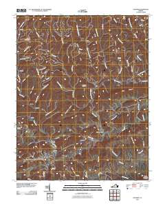
2010 Map of Honaker
USGS Topo · Published 2010About this map
Honaker serves as a primary settlement along the southern edge of this southwest Virginia landscape, where the Clinch River and Little River converge amidst a labyrinth of ridges and deep hollows. The terrain is defined by dramatic elevations like House And Barn Mountain and Fuller Mountain, with the rural population distributed across small communities such as Putnam, Gardner, and Swords Creek.
Find a feature on this map
67 named features on this map. Tap any name to fly to it.
Don’t see what you’re looking for? This feature index may not catch every label — zoom into the map to look around manually.
Map Details
Editions of this 2010 Honaker Map
This is the sole edition of this map. No revisions or reprints were ever made.
Other maps of this area

1886 · Grundy
USGS Topo · 1:125,000

1890 · Grundy
USGS Topo · 1:125,000

1891 · Tazewell
USGS Topo · 1:125,000

1891 · Abingdon
USGS Topo · 1:125,000

1892 · Grundy
USGS Topo · 1:125,000

1894 · Abingdon
USGS Topo · 1:125,000

1895 · Tazewell
USGS Topo · 1:125,000

1897 · Tazewell
USGS Topo · 1:125,000

1897 · Bristol
USGS Topo · 1:125,000

1902 · Bristol
USGS Topo · 1:125,000