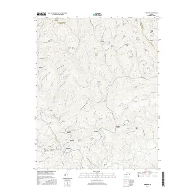
2016 Map of Honaker
USGS Topo · Published 2016About this map
Honaker and the surrounding river valleys are the focal point of this 2016 survey, situated where the Clinch River meets the smaller Little River and Duncan Br. The landscape is defined by the Tennessee Valley Divide and a series of prominent ridges, including Kents Ridge and Hollow Poplar Ridge, which shape the settlement patterns in the lowlands. The distribution of small communities like Swords Creek, Putnam, and Gardner follows the winding river paths, while the uplands are marked by numerous family-named landmarks and hollows, such as Groundhog Hollow and Wolfpen Hollow.
Find a feature on this map
153 named features on this map. Tap any name to fly to it.
Don’t see what you’re looking for? This feature index may not catch every label — zoom into the map to look around manually.
Map Details
Editions of this 2016 Honaker Map
This is the sole edition of this map. No revisions or reprints were ever made.
Other maps of this area

1886 · Grundy
USGS Topo · 1:125,000

1890 · Grundy
USGS Topo · 1:125,000

1891 · Tazewell
USGS Topo · 1:125,000

1891 · Abingdon
USGS Topo · 1:125,000

1892 · Grundy
USGS Topo · 1:125,000

1894 · Abingdon
USGS Topo · 1:125,000

1895 · Tazewell
USGS Topo · 1:125,000

1897 · Tazewell
USGS Topo · 1:125,000

1897 · Bristol
USGS Topo · 1:125,000

1902 · Bristol
USGS Topo · 1:125,000