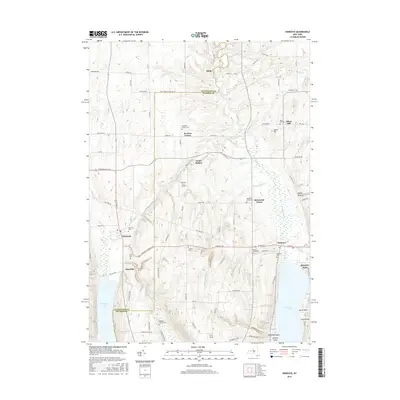
2016 Map of Honeoye
USGS Topo · Published 2016About this map
Honeoye Lake and Hemlock Lake anchor this 2016 survey of the Finger Lakes region, where the glacial topography of the Abbey Gulf and Bray Gully defines the rural landscape. This modern digital map traces the persistent settlement patterns of small communities like Honeoye, Hemlock, and Allens Hill. The area is notably dense with burial sites including Dennison Corners Cem, Purcell Cem, and Lakeview Cem, offering significant value for genealogical research in this part of western New York.
Find a feature on this map
91 named features on this map. Tap any name to fly to it.
Don’t see what you’re looking for? This feature index may not catch every label — zoom into the map to look around manually.
Map Details
Editions of this 2016 Honeoye Map
This is the sole edition of this map. No revisions or reprints were ever made.
Other maps of this area

1900 · Naples
USGS Topo · 1:62,500

1900 · Canandaigua
USGS Topo · 1:62,500

1901 · Honeoye
USGS Topo · 1:62,500

1902 · Wayland
USGS Topo · 1:62,500

1903 · Naples
USGS Topo · 1:62,500

1903 · Canandaigua
USGS Topo · 1:62,500

1904 · Wayland
USGS Topo · 1:62,500

1904 · Honeoye
USGS Topo · 1:62,500

1913 · Naples
USGS Topo · 1:62,500

1934 · Rush
USGS Topo · 1:24,000