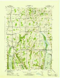
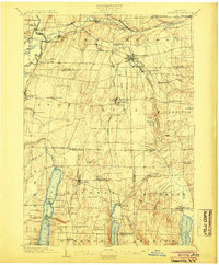
1942 Map of Honeoye
USGS Topo · Published 1942About this map
Hemlock and Honeoye anchor the valley floor in this 1940s landscape, where the glacial geography of the Finger Lakes region dictates the local economy and transport. The Lehigh Valley railroad cuts through the western edge of the quadrangle, serving the lakeside communities and agricultural hinterlands near Hemlock Lake and Honeoye Lake. The map reveals a highly organized rural infrastructure with numerous numbered schools, such as School No 7 at Richmond Center, and small clusters like Bosley Corners and Curtis Corners. Evidence of early settlement is preserved in sites like Short Cem and Canadice Hollow Cem, while the Fairgrounds near Hemlock point to the area's role as a regional gathering place. The terrain is marked by significant hydrological features including the Canadice Outlet and the deeply cut Abbey Gulf to the east.
Find a feature on this map
44 named features on this map. Tap any name to fly to it.
Don’t see what you’re looking for? This feature index may not catch every label — zoom into the map to look around manually.
Map Details
Editions of this 1942 Honeoye Map
This is the sole edition of this map. No revisions or reprints were ever made.
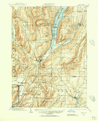
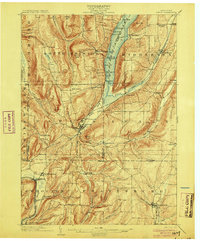
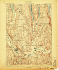
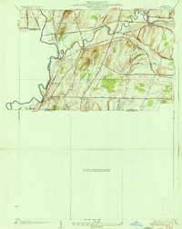
Other maps of this area
1900 · Naples
USGS Topo · 1:62,500

1900 · Canandaigua
USGS Topo · 1:62,500

1901 · Honeoye
USGS Topo · 1:62,500

1902 · Wayland
USGS Topo · 1:62,500
1903 · Naples
USGS Topo · 1:62,500

1903 · Canandaigua
USGS Topo · 1:62,500
1904 · Wayland
USGS Topo · 1:62,500
1904 · Honeoye
USGS Topo · 1:62,500

1913 · Naples
USGS Topo · 1:62,500
1934 · Rush
USGS Topo · 1:24,000