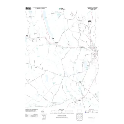
2013 Map of Honesdale
USGS Topo · Published 2013About this map
Honesdale and the surrounding plateau of Wayne County are defined by a sophisticated network of glacial lakes and river valleys. The Lackawaxen River cuts through the center of the sheet, supported by the Van Auken Cr and Dyberry Cr, which converge near Prompton and Seelyville. The landscape is dotted with named water bodies such as Prompton Lake, Keen Lake, and Cadjaw Pond, illustrating the region's dense hydrology. Transportation corridors are marked by modern roadways and the path of an Old Railroad, tracing the industrial history of the valley. Local aviation is represented by small facilities like the Cavage Personal Use Airport and Cherry Ridge Airport. Further south, the terrain includes Cherry Ridge and the Texas Rod Gun Club Lake, while the north is anchored by the historic borough of Bethany. This survey captures the mix of small settlements and recreational spaces like the Elk Forest Resort Golf Course.
Find a feature on this map
155 named features on this map. Tap any name to fly to it.
Don’t see what you’re looking for? This feature index may not catch every label — zoom into the map to look around manually.
Map Details
Editions of this 2013 Honesdale Map
This is the sole edition of this map. No revisions or reprints were ever made.
Other maps of this area

1892 · Honesdale
USGS Topo · 1:62,500

1920 · Damascus
USGS Topo · 1:62,500

1923 · Damascus
USGS Topo · 1:62,500

1928 · Ariel
USGS Topo · 1:62,500

1932 · Ariel
USGS Topo · 1:62,500

1935 · Hawley
USGS Topo · 1:62,500

1938 · Hawley
USGS Topo · 1:62,500

1943 · Honesdale
USGS Topo · 1:125,000

1944 · Damascus
USGS Topo · 1:62,500

1946 · Forest City
USGS Topo · 1:24,000