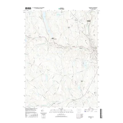
2016 Map of Honesdale
USGS Topo · Published 2016About this map
Honesdale and the surrounding plateau of Wayne County are defined by an intricate network of glacial ponds, swamps, and small hamlets. In the north, the historic borough of Bethany sits near the headwaters of Dyberry Creek, while the Lackawaxen River flows through the central valley past Prompton and Seelyville. The landscape is dotted with several family and community burial grounds, including Keen Cem, Schoonover Cem, and the Glass Factory Cem, which offer significant value for genealogical research in this part of Northeastern Pennsylvania.
Find a feature on this map
117 named features on this map. Tap any name to fly to it.
Don’t see what you’re looking for? This feature index may not catch every label — zoom into the map to look around manually.
Map Details
Editions of this 2016 Honesdale Map
This is the sole edition of this map. No revisions or reprints were ever made.
Other maps of this area

1892 · Honesdale
USGS Topo · 1:62,500

1920 · Damascus
USGS Topo · 1:62,500

1923 · Damascus
USGS Topo · 1:62,500

1928 · Ariel
USGS Topo · 1:62,500

1932 · Ariel
USGS Topo · 1:62,500

1935 · Hawley
USGS Topo · 1:62,500

1938 · Hawley
USGS Topo · 1:62,500

1943 · Honesdale
USGS Topo · 1:125,000

1944 · Damascus
USGS Topo · 1:62,500

1946 · Forest City
USGS Topo · 1:24,000