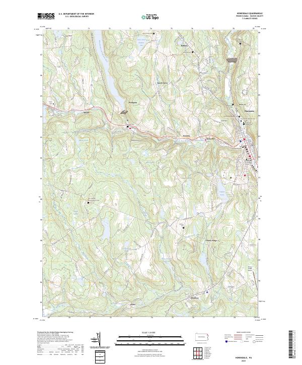
2023 Map of Honesdale
USGS Topo · Published 2023About this map
The Wayne County Courthouse stands at the heart of Honesdale, marking its significance as a regional seat of government. This northern Pennsylvania landscape is defined by the West Branch Lackawaxen River and its many tributaries, such as Dyberry Creek and Van Auken Creek, which shaped the early development of industrial and agricultural settlements. Smaller villages like Seelyville, Bethany, and Prompton are clustered along these waterways, reflecting a history tied to the river's path.
Find a feature on this map
145 named features on this map. Tap any name to fly to it.
Don’t see what you’re looking for? This feature index may not catch every label — zoom into the map to look around manually.
Map Details
Editions of this 2023 Honesdale Map
This is the sole edition of this map. No revisions or reprints were ever made.
Other maps of this area

1892 · Honesdale
USGS Topo · 1:62,500

1920 · Damascus
USGS Topo · 1:62,500

1923 · Damascus
USGS Topo · 1:62,500

1928 · Ariel
USGS Topo · 1:62,500

1932 · Ariel
USGS Topo · 1:62,500

1935 · Hawley
USGS Topo · 1:62,500

1938 · Hawley
USGS Topo · 1:62,500

1943 · Honesdale
USGS Topo · 1:125,000

1944 · Damascus
USGS Topo · 1:62,500

1946 · Forest City
USGS Topo · 1:24,000