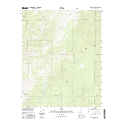
2017 Map of Honey Boy Ranch
USGS Topo · Published 2017About this map
Honey Boy Ranch sits at the heart of this landscape within the southeastern reaches of the Santa Fe National Forest. This 2017 survey details a network of high-altitude drainages and canyons, including the significant Cañon de Tijeras and the branching Blue Canyon system. The terrain is defined by a complex watershed where the Rito Manzanares flows through the ranch lands, joining numerous other ritos such as the Rito de la Osha and Rito Atascoso. Remote access is primarily managed through Forest Service infrastructure like Forest 864 Rd and the Pack Trl, highlighting the region's character as a managed wilderness area. Notable for its preservation of Spanish-named land features like Cañon Cola y Largo and the Rito de las Quemazones, the map provides a clear look at the intricate topography of the Santa Fe Mountains.
Find a feature on this map
38 named features on this map. Tap any name to fly to it.
Don’t see what you’re looking for? This feature index may not catch every label — zoom into the map to look around manually.
Map Details
Editions of this 2017 Honey Boy Ranch Map
This is the sole edition of this map. No revisions or reprints were ever made.
Other maps of this area

1889 · Las Vegas
USGS Topo · 1:125,000

1889 · Santa Fe
USGS Topo · 1:125,000

1891 · Las Vegas
USGS Topo · 1:125,000

1893 · Las Vegas
USGS Topo · 1:125,000

1894 · Santa Fe
USGS Topo · 1:125,000

1954 · Santa Fe
USGS Topo · 1:250,000

1958 · Santa Fe
USGS Topo · 1:250,000

1961 · San Geronimo
USGS Topo · 1:24,000

1961 · El Porvenir
USGS Topo · 1:24,000

1961 · Honey Boy Ranch
USGS Topo · 1:24,000