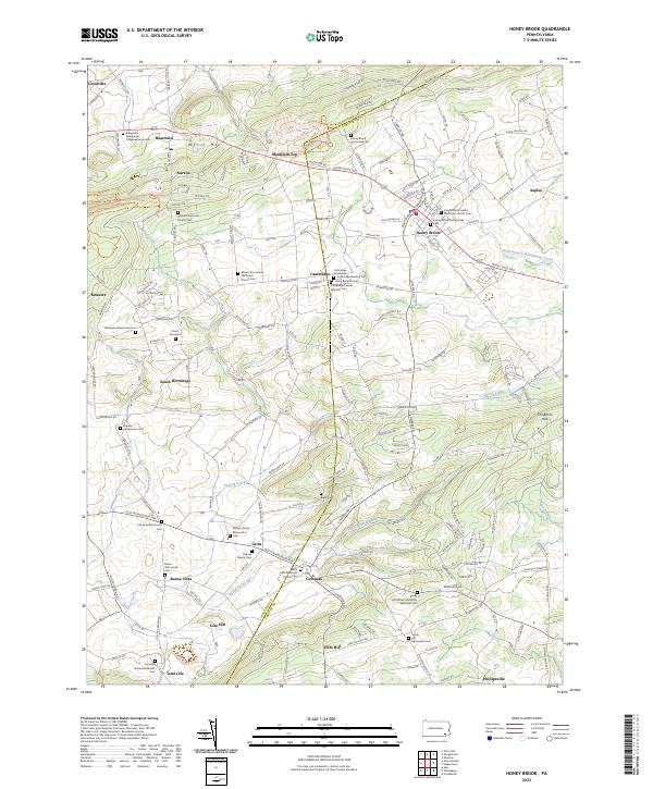
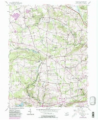
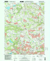
2023 Map of Honey Brook
USGS Topo · Published 2023About this map
Welsh Mtn and The Baron Hills frame a landscape defined by its deep sectarian heritage along the border of Lancaster and Chester counties. The area is dense with legacy religious sites, from the Cambridge Friends Meeting Cem and Pequea Amish Mennonite Cem to the Sandy Hill African Methodist Episcopal Cem, reflecting the diverse communal tapestry of the Pequea Valley.
Find a feature on this map
183 named features on this map. Tap any name to fly to it.
Don’t see what you’re looking for? This feature index may not catch every label — zoom into the map to look around manually.
Map Details
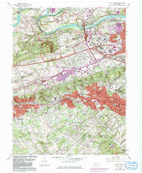
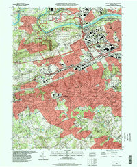
Editions of this 2023 Honey Brook Map
This is the sole edition of this map. No revisions or reprints were ever made.
Historical Maps of Narvon Through Time
12 maps found

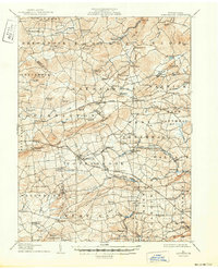
1905 Honey Brook
Chester County, PA
1907 Honeybrook
Chester County, PA

1941 Honeybrook
Chester County, PA
1952 Valley Forge
Chester County, PA
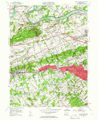
1955 Honey Brook
Chester County, PA
1956 Wagontown
Chester County, PA
1966 Valley Forge
Chester County, PA
1992 Valley Forge
Chester County, PA
1999 Wagontown
Chester County, PA
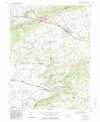
2023 Honey Brook
Chester County, PA
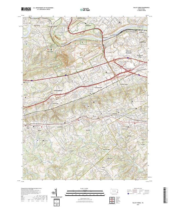
2023 Valley Forge
Chester County, PA
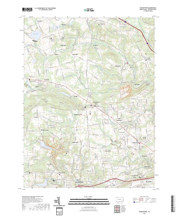
2023 Wagontown
Chester County, PA
Featured Locations
- Honey Brook, PA
- East Earl Township, PA
- Narvon, Caernarvon Township
- Cains, Salisbury Township
- Cambridge, Salisbury Township