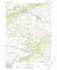
1955 Map of Honey Brook
USGS Topo · Published 1983About this map
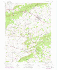
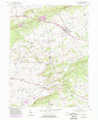
Caernarvon Mountain and Welsh Mountain dominate the northern terrain of this quadrangle, where the boundary between Lancaster and Chester counties cuts through a landscape of ridges and valley settlements. The mid-century rural infrastructure is densely marked by community hubs like Honey Brook and Beartown, connected by the historic Old Philadelphia Pike and King's Highway (611). The area's social fabric is visible through its numerous institutional landmarks, including St Johns Church, Pequea Church, and Old Road Church, alongside small local education centers like White Hall School and Pine Grove School. Along the southern reaches, the Conrail line skirts the edge of Suplee, while the waters of Pequea Creek and Indian Spring Run define the drainage patterns of the valley. Later updates, indicated in purple, show the expansion of the Honey Brook borough and changes near Tel-Hai Camp and the Baron Hills.
Find a feature on this map
52 named features on this map. Tap any name to fly to it.
Don’t see what you’re looking for? This feature index may not catch every label — zoom into the map to look around manually.
Map Details
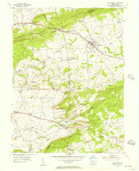
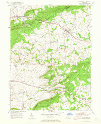
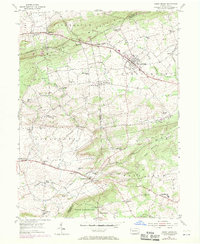
Editions of this 1955 Honey Brook Map
6 editions found
Other maps of this area

1904 · Coatesville
USGS Topo · 1:62,500

1905 · Honey Brook
USGS Topo · 1:62,500

1906 · Coatesville
USGS Topo · 1:62,500

1906 · New Holland
USGS Topo · 1:62,500

1907 · Honeybrook
USGS Topo · 1:62,500

1908 · New Holland
USGS Topo · 1:62,500

1912 · Quarryville
USGS Topo · 1:62,500

1918 · Coatesville
USGS Topo · 1:62,500

1941 · Honeybrook
USGS Topo · 1:62,500

1941 · New Holland
USGS Topo · 1:62,500
Featured Places
- East Earl Township, PA
- Honey Brook, PA
- West Caln Township, PA
- Sadsbury Township, PA
- Honey Brook Township, PA