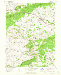
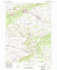
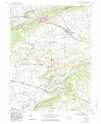
1955 Map of Honey Brook
USGS Topo · Published 1965About this map
Honey Brook serves as a central hub in this mid-century landscape, where the Reading railroad intersects with a network of historic thoroughfares like the Old Philadelphia Pike and Kings Highway. The terrain is defined by the prominent ridges of Caernarvon Mountain and Welsh Mountain, which separate the drainage of the West Branch Brandywine Creek from the Pequea Creek valley.
Find a feature on this map
61 named features on this map. Tap any name to fly to it.
Don’t see what you’re looking for? This feature index may not catch every label — zoom into the map to look around manually.
Map Details
Editions of this 1955 Honey Brook Map
6 editions found
Other maps of this area

1904 · Coatesville
USGS Topo · 1:62,500

1905 · Honey Brook
USGS Topo · 1:62,500

1906 · Coatesville
USGS Topo · 1:62,500

1906 · New Holland
USGS Topo · 1:62,500

1907 · Honeybrook
USGS Topo · 1:62,500

1908 · New Holland
USGS Topo · 1:62,500

1912 · Quarryville
USGS Topo · 1:62,500

1918 · Coatesville
USGS Topo · 1:62,500

1941 · Honeybrook
USGS Topo · 1:62,500

1941 · New Holland
USGS Topo · 1:62,500
Featured Places
- East Earl Township, PA
- Honey Brook, PA
- West Caln Township, PA
- Sadsbury Township, PA
- Honey Brook Township, PA