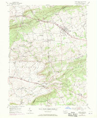
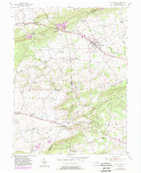
1955 Map of Honey Brook
USGS Topo · Published 1971About this map
The borough of Honey Brook sits at the heart of this landscape, positioned along the Reading and Penn Central rail lines where they cross the divide between the West Branch Brandywine Creek and Pequea Creek. The map documents a transition from the elevated crest of Caernarvon Mountain in the north to the lower agricultural lands of Salisbury and West Sadsbury.
Find a feature on this map
65 named features on this map. Tap any name to fly to it.
Don’t see what you’re looking for? This feature index may not catch every label — zoom into the map to look around manually.
Map Details
Editions of this 1955 Honey Brook Map
6 editions found
Other maps of this area

1904 · Coatesville
USGS Topo · 1:62,500

1905 · Honey Brook
USGS Topo · 1:62,500

1906 · Coatesville
USGS Topo · 1:62,500

1906 · New Holland
USGS Topo · 1:62,500

1907 · Honeybrook
USGS Topo · 1:62,500

1908 · New Holland
USGS Topo · 1:62,500

1912 · Quarryville
USGS Topo · 1:62,500

1918 · Coatesville
USGS Topo · 1:62,500

1941 · Honeybrook
USGS Topo · 1:62,500

1941 · New Holland
USGS Topo · 1:62,500
Featured Places
- East Earl Township, PA
- Honey Brook, PA
- West Caln Township, PA
- Sadsbury Township, PA
- Honey Brook Township, PA