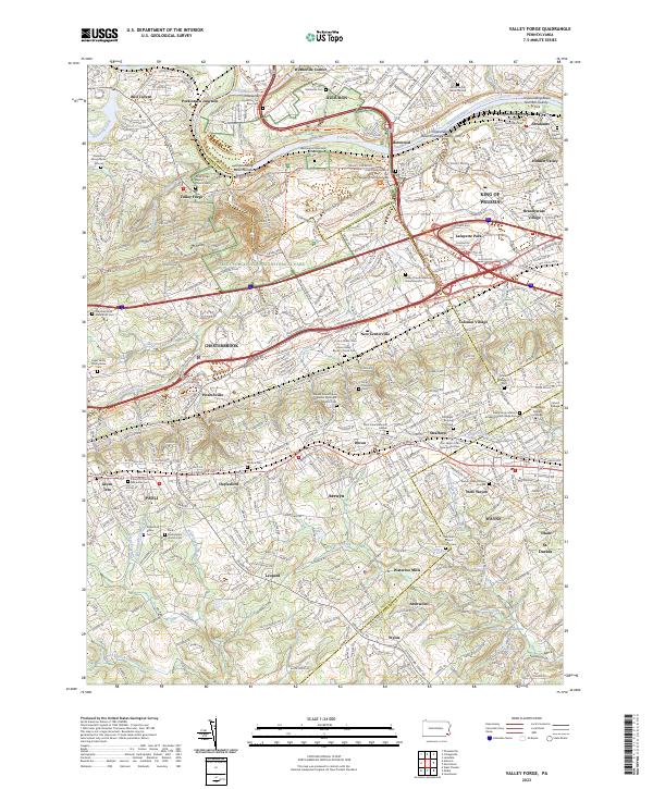
2023 Map of Valley Forge
USGS Topo · Published 2023About this map
Valley Forge National Historical Park anchors this modern landscape, preserving the terrain of Mt Misery and Mt Joy where the Schuylkill River meets Valley Creek. The surrounding suburban density of King of Prussia and Wayne is balanced by deep genealogical landmarks, including the Norris Family Burial Ground and the Old Saint David Church Cem. Local history is embedded in the transit corridors, from the Norfolk Southern line at Perkiomen Junction to the Chester Valley Trl. The map details numerous impounding basins along the river and specialized institutions like the Valley Forge Military Academy and College Cem and Cabrini College. Small hamlets such as Leopard and Bull Tavern remain as distinct markers amidst the contemporary residential expansion of the Main Line area.
Find a feature on this map
88 named features on this map. Tap any name to fly to it.
Don’t see what you’re looking for? This feature index may not catch every label — zoom into the map to look around manually.
Map Details
Editions of this 2023 Valley Forge Map
This is the sole edition of this map. No revisions or reprints were ever made.
Other maps of this area

1894 · Chester
USGS Topo · 1:62,500

1894 · Norristown
USGS Topo · 1:62,500

1895 · Norristown
USGS Topo · 1:62,500

1896 · Norristown
USGS Topo · 1:62,500

1896 · Chester
USGS Topo · 1:62,500

1898 · Chester
USGS Topo · 1:62,500

1901 · Camden
USGS Topo · 1:125,000

1901 · West Chester
USGS Topo · 1:62,500

1904 · West Chester
USGS Topo · 1:62,500

1906 · Phoenixville
USGS Topo · 1:62,500
Featured Places
- Radnor Township, PA
- King of Prussia, Upper Merion Township
- Willistown Township, PA
- Charlestown Township, PA
- Chesterbrook, Tredyffrin Township