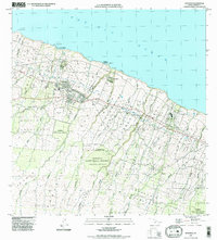
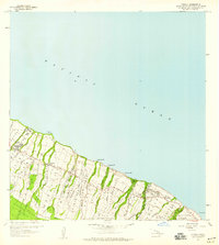
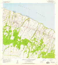
1995 Map of Honokaa
USGS Topo · Published 1998About this map
Honokaa serves as the focal point of this coastal survey, where the terrestrial landscape of the Big Island meets the Pacific Ocean. The geography is defined by a dense network of gulches, including Keaakaukau Gulch and Nienie Gulch, that carve through the agricultural and forest lands. Coastal operations are marked by Honokaa Landing and Paauhau Landing, indicating the historic importance of maritime access for the local sugar industry and transport before modern infrastructure predominated.
Find a feature on this map
51 named features on this map. Tap any name to fly to it.
Don’t see what you’re looking for? This feature index may not catch every label — zoom into the map to look around manually.
Map Details
Editions of this 1995 Honokaa Map
This is the sole edition of this map. No revisions or reprints were ever made.
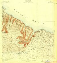
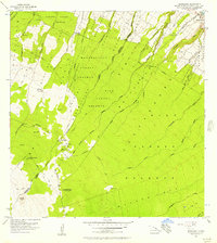
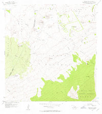
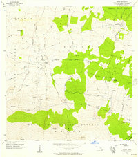
Other maps of this area
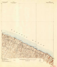
1915 · Hamakua
USGS Topo · 1:62,500
1916 · Waipio
USGS Topo · 1:62,500

1954 · Hawaii North
USGS Topo · 1:250,000
1956 · Keanakolu
USGS Topo · 1:24,000
1956 · Makahalau
USGS Topo · 1:24,000
1956 · Umikoa
USGS Topo · 1:24,000
1957 · Kukaiau
USGS Topo · 1:24,000
1957 · Honokaa
USGS Topo · 1:24,000

1959 · Hawaii North
USGS Topo · 1:250,000

1961 · Hawaii North
USGS Topo · 1:250,000