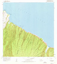
1957 Map of Honokane
USGS Topo · Published 1973About this map
Dramatic sea cliffs and deeply carved amphitheatres define this mid-century survey of the North Kohala coast. The landscape is dominated by the Kohala Forest Reserve, where numerous streams like Honokane Nui Stream and Honopue Stream drop toward the Pacific. Small coastal settlements including Niulii, Wakaina, and Waiapuka are concentrated in the northwest corner, near a local Cemetery and the Awini Trail. The rugged eastern portion of the map showcases the sheer scale of the Pololu Valley and Waimanu Valley, featuring spectacular vertical drops at Waikilau Falls and Lahomene Falls. Mapping infrastructure is visible through the Old USGS Cam and New USGS Camp, indicating the active surveying of this difficult terrain during the late 1950s.
Find a feature on this map
58 named features on this map. Tap any name to fly to it.
Don’t see what you’re looking for? This feature index may not catch every label — zoom into the map to look around manually.
Map Details
Editions of this 1957 Honokane Map
2 editions found
Other maps of this area

1913 · Kohala
USGS Topo · 1:62,500

1916 · Kohala
USGS Topo · 1:62,500

1916 · Waipio
USGS Topo · 1:62,500

1954 · Hawaii North
USGS Topo · 1:250,000

1956 · Kamuela
USGS Topo · 1:24,000

1956 · Kawaihae
USGS Topo · 1:24,000
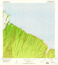
1957 · Honokane
USGS Topo · 1:24,000
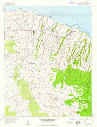
1957 · Hawi
USGS Topo · 1:24,000

1959 · Hawaii North
USGS Topo · 1:250,000

1961 · Hawaii North
USGS Topo · 1:250,000