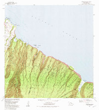
1982 Map of Honokane
USGS Topo · Published 1982About this map
Pololu Valley and the steep northern face of the Kohala Mountains dominate this 1982 coastal survey, where deep ampitheater-headed valleys drop sharply into the Pacific Ocean. Small settlements like Niulii and Wakaina are concentrated along the northwestern coastal shelf, while the interior remains defined by the Kohala Forest Reserve and its intricate drainage systems. The map traces the engineering of the Kehena Ditch and identifies several dramatic waterfalls including Lahomene Falls and Wailikahi Falls at the head of the Waimanu Valley. This era shows a landscape where foot trails and gaging stations are the primary human imprints across the Honopue Valley and Honokane Nui regions, highlighting the transition from the inhabited coastal pockets to the remote, vertical terrain of the North Kohala and Hamakua districts.
Find a feature on this map
53 named features on this map. Tap any name to fly to it.
Don’t see what you’re looking for? This feature index may not catch every label — zoom into the map to look around manually.
Map Details
Editions of this 1982 Honokane Map
2 editions found
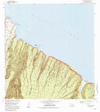
Other maps of this area

1913 · Kohala
USGS Topo · 1:62,500

1916 · Kohala
USGS Topo · 1:62,500

1916 · Waipio
USGS Topo · 1:62,500

1954 · Hawaii North
USGS Topo · 1:250,000

1956 · Kamuela
USGS Topo · 1:24,000

1956 · Kawaihae
USGS Topo · 1:24,000
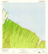
1957 · Honokane
USGS Topo · 1:24,000
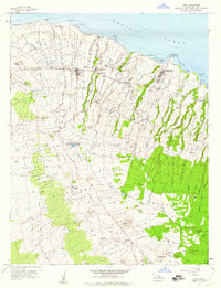
1957 · Hawi
USGS Topo · 1:24,000

1959 · Hawaii North
USGS Topo · 1:250,000

1961 · Hawaii North
USGS Topo · 1:250,000