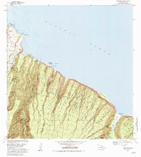
1982 Map of Honokane
USGS Topo · Published 1984About this map
The Kohala Forest Reserve dominates this coastal landscape, where the volcanic slopes of the North Kohala District meet the Pacific. This 1980s-era documentation reveals a rugged interface of deep erosional features, including Pololu Valley and Waimanu Valley, which cut sharply through the terrain. The presence of infrastructure such as the Waimanu Trail and various tunnels and flumes reflects a complex history of water management in this high-rainfall environment.
Find a feature on this map
49 named features on this map. Tap any name to fly to it.
Don’t see what you’re looking for? This feature index may not catch every label — zoom into the map to look around manually.
Map Details
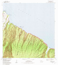
Editions of this 1982 Honokane Map
2 editions found
Other maps of this area

1913 · Kohala
USGS Topo · 1:62,500

1916 · Kohala
USGS Topo · 1:62,500

1916 · Waipio
USGS Topo · 1:62,500

1954 · Hawaii North
USGS Topo · 1:250,000

1956 · Kamuela
USGS Topo · 1:24,000

1956 · Kawaihae
USGS Topo · 1:24,000
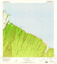
1957 · Honokane
USGS Topo · 1:24,000
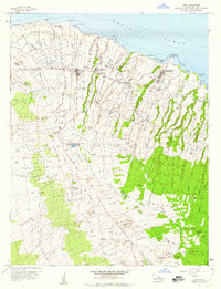
1957 · Hawi
USGS Topo · 1:24,000

1959 · Hawaii North
USGS Topo · 1:250,000

1961 · Hawaii North
USGS Topo · 1:250,000