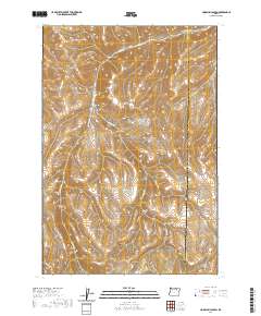
2020 Map of Hoodlum Canyon
USGS Topo · Published 2020About this map
Butter Cr and its numerous tributaries carve a complex drainage system through this portion of the Umatilla and Morrow County border. The landscape is defined by its dramatic relief, where local canyons like Hoodlum Canyon and Paget Canyon intersect with major gulches such as Row Gulch. This 2020 survey illustrates how the terrain dictates the path of limited infrastructure, notably Hisler Rd and Gurdane Rd, which navigate the high ridges and valley floors.
Find a feature on this map
21 named features on this map. Tap any name to fly to it.
Don’t see what you’re looking for? This feature index may not catch every label — zoom into the map to look around manually.
Map Details
Editions of this 2020 Hoodlum Canyon Map
This is the sole edition of this map. No revisions or reprints were ever made.
Other maps of this area

1953 · Pendleton
USGS Topo · 1:250,000

1956 · Pendleton
USGS Topo · 1:250,000

1967 · Freezeout Ridge
USGS Topo · 1:24,000

1968 · Hoodlum Canyon
USGS Topo · 1:24,000

1968 · Lena
USGS Topo · 1:24,000

1968 · Gurdane
USGS Topo · 1:24,000
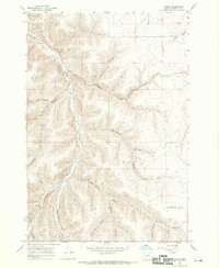
1968 · Vinson
USGS Topo · 1:24,000
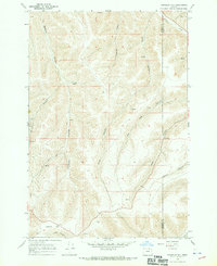
1968 · Franklin Hill
USGS Topo · 1:24,000

1969 · Sugarbowl Creek
USGS Topo · 1:24,000

1969 · Arbuckle Mtn
USGS Topo · 1:24,000