
1968 Map of Gurdane
USGS Topo · Published 1970About this map
Gurdane sits at the edge of a deep canyon system in southern Umatilla County, marking a remote settlement point defined by its proximity to the headwaters of Gurdane Creek. The landscape transitions from the open plateau of Darr Flats in the north to a series of intricately carved drainages like Monahan Canyon and Buckhorn Canyon. This 1968 field-checked survey highlights the precarious nature of early travel and ranching in the region, noting isolated landmarks such as the Pedro Ranch Airstrip and a single Grave located near Webb Slough. Much of the area's movement follows the natural contours of the East Fork Butter Creek and its various tributaries, including Ely Creek and Cates Creek. Local history is anchored at the Gurdane Cem, while small-scale resource extraction is evidenced by a Borrow Pit and Gravel Pit near the prominent ridge of Cape Horn.
Find a feature on this map
27 named features on this map. Tap any name to fly to it.
Don’t see what you’re looking for? This feature index may not catch every label — zoom into the map to look around manually.
Map Details
Editions of this 1968 Gurdane Map
This is the sole edition of this map. No revisions or reprints were ever made.
Other maps of this area

1953 · Pendleton
USGS Topo · 1:250,000

1956 · Pendleton
USGS Topo · 1:250,000

1967 · Nye
USGS Topo · 1:24,000

1967 · Carney Butte
USGS Topo · 1:24,000

1967 · Ukiah
USGS Topo · 1:24,000

1968 · Hoodlum Canyon
USGS Topo · 1:24,000
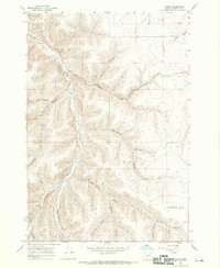
1968 · Vinson
USGS Topo · 1:24,000
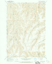
1968 · Franklin Hill
USGS Topo · 1:24,000

1969 · Sugarbowl Creek
USGS Topo · 1:24,000
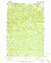
1969 · Matlock Prairie
USGS Topo · 1:24,000