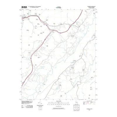
2010 Map of Hooker
USGS Topo · Published 2010About this map
Whiteside and the nearby Whiteside Post Office anchor the northwestern portion of this landscape, where the terrain is defined by complex drainage and mountain gaps. The geography is marked by numerous family-named landmarks and historical burial grounds, including the Summit Cemetery and Haswell Cemetery near Hooker. The winding course of Lookout Creek serves as a primary hydrological feature, joined by tributaries such as Squirrel Town Creek and McCollum Branch.
Find a feature on this map
86 named features on this map. Tap any name to fly to it.
Don’t see what you’re looking for? This feature index may not catch every label — zoom into the map to look around manually.
Map Details
Editions of this 2010 Hooker Map
This is the sole edition of this map. No revisions or reprints were ever made.
Other maps of this area

1886 · Ringgold
USGS Topo · 1:125,000

1886 · Stevenson
USGS Topo · 1:125,000

1888 · Chattanooga
USGS Topo · 1:125,000

1892 · Ringgold
USGS Topo · 1:125,000

1892 · Stevenson
USGS Topo · 1:125,000

1893 · Chattanooga
USGS Topo · 1:125,000

1895 · Stevenson
USGS Topo · 1:125,000

1895 · Sewanee
USGS Topo · 1:125,000

1935 · Durham
USGS Topo · 1:24,000

1936 · Trenton
USGS Topo · 1:24,000