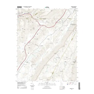
2014 Map of Hooker
USGS Topo · Published 2014About this map
Lookout Mountain dominates this landscape along the border of Tennessee and Georgia, where the high ridges of Aetna Mtn and Tatum Mtn drop away into the Slygo Valley. The map details a complex network of gaps and hollows, including Tarklin Gap and Burkhalter Gap, that have historically channeled movement between the Chattanooga Valley and the western plateaus. Civil War history is anchored on the eastern edge by the Chickamauga and Chattanooga National Military Park.
Find a feature on this map
155 named features on this map. Tap any name to fly to it.
Don’t see what you’re looking for? This feature index may not catch every label — zoom into the map to look around manually.
Map Details
Editions of this 2014 Hooker Map
This is the sole edition of this map. No revisions or reprints were ever made.
Other maps of this area

1886 · Ringgold
USGS Topo · 1:125,000

1886 · Stevenson
USGS Topo · 1:125,000

1888 · Chattanooga
USGS Topo · 1:125,000

1892 · Ringgold
USGS Topo · 1:125,000

1892 · Stevenson
USGS Topo · 1:125,000

1893 · Chattanooga
USGS Topo · 1:125,000

1895 · Stevenson
USGS Topo · 1:125,000

1895 · Sewanee
USGS Topo · 1:125,000

1935 · Durham
USGS Topo · 1:24,000

1936 · Trenton
USGS Topo · 1:24,000