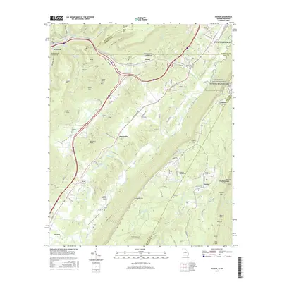
2017 Map of Hooker
USGS Topo · Published 2017About this map
Lookout Mountain dominates the eastern half of this terrain, where the Chickamauga and Chattanooga National Military Park preserves significant Civil War history. The map covers a complex border region where Tennessee, Georgia, and Alabama nearly meet, centered on the broad Lookout Valley and the smaller settlements of Hooker, Wildwood, and New England. The topography is defined by high ridges and deep hollows like Pulltight Hollow and Egypt Hollow, separated by gaps such as Windy Gap and Tarkiln Gap.
Find a feature on this map
148 named features on this map. Tap any name to fly to it.
Don’t see what you’re looking for? This feature index may not catch every label — zoom into the map to look around manually.
Map Details
Editions of this 2017 Hooker Map
This is the sole edition of this map. No revisions or reprints were ever made.
Other maps of this area

1886 · Ringgold
USGS Topo · 1:125,000

1886 · Stevenson
USGS Topo · 1:125,000

1888 · Chattanooga
USGS Topo · 1:125,000

1892 · Ringgold
USGS Topo · 1:125,000

1892 · Stevenson
USGS Topo · 1:125,000

1893 · Chattanooga
USGS Topo · 1:125,000

1895 · Stevenson
USGS Topo · 1:125,000

1895 · Sewanee
USGS Topo · 1:125,000

1935 · Durham
USGS Topo · 1:24,000

1936 · Trenton
USGS Topo · 1:24,000