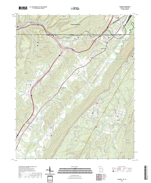
2024 Map of Hooker
USGS Topo · Published 2024About this map
Lookout Mountain dominates the eastern landscape of this region, where the state lines of Georgia and Tennessee converge near Chattanooga. The map documents a complex network of gaps and hollows that historically dictated movement through the valley, including Windy Gap, Tarklin Gap, and Stidmon Gap. These natural corridors support established communities such as Wildwood, Morganville, and New England, while many smaller family name-plates like Deakins Cem, Haswell Cem, and Price Cem reflect the area's deep-rooted genealogical history.
Find a feature on this map
169 named features on this map. Tap any name to fly to it.
Don’t see what you’re looking for? This feature index may not catch every label — zoom into the map to look around manually.
Map Details
Editions of this 2024 Hooker Map
This is the sole edition of this map. No revisions or reprints were ever made.
Other maps of this area

1886 · Ringgold
USGS Topo · 1:125,000

1886 · Stevenson
USGS Topo · 1:125,000

1888 · Chattanooga
USGS Topo · 1:125,000

1892 · Ringgold
USGS Topo · 1:125,000

1892 · Stevenson
USGS Topo · 1:125,000

1893 · Chattanooga
USGS Topo · 1:125,000

1895 · Stevenson
USGS Topo · 1:125,000

1895 · Sewanee
USGS Topo · 1:125,000

1935 · Durham
USGS Topo · 1:24,000

1936 · Trenton
USGS Topo · 1:24,000