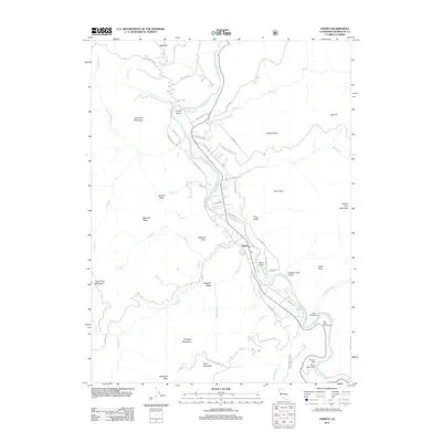
2012 Map of Hoopa
USGS Topo · Published 2012About this map
The Trinity River serves as the central artery for this mountainous region of Humboldt County, winding past the Hoopa Valley and the community of Hoopa. The river’s course is marked by traditional crossing points and landforms such as Ferry Point and Ferry Gulch, reflecting a history of river-dependent transport and settlement. Low-lying areas near the water accommodate key infrastructure like the Hoopa Airport, while the surrounding steep terrain is defined by numerous family-named or descriptive landmarks including Captain John Mountain, Hospital Ridge, and Sawmill Point.
Find a feature on this map
60 named features on this map. Tap any name to fly to it.
Don’t see what you’re looking for? This feature index may not catch every label — zoom into the map to look around manually.
Map Details
Editions of this 2012 Hoopa Map
This is the sole edition of this map. No revisions or reprints were ever made.
Other maps of this area

1915 · Big Bar and Vicinity
USGS Topo · 1:250,000

1922 · Korbel
USGS Topo · 1:62,500

1922 · China Flat
USGS Topo · 1:62,500

1925 · Hoopa
USGS Topo · 1:125,000

1945 · Coyote Peak
USGS Topo · 1:62,500

1945 · Blue Lake
USGS Topo · 1:62,500

1948 · Weed
USGS Topo · 1:250,000

1950 · Weed
USGS Topo · 1:250,000

1951 · Blue Lake
USGS Topo · 1:62,500

1952 · Willow Creek
USGS Topo · 1:62,500