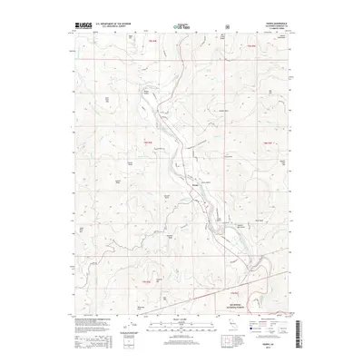
2015 Map of Hoopa
USGS Topo · Published 2015About this map
The Trinity River carves a deep path through the center of this terrain, anchoring the life and geography of Hoopa and the broader Hoopa Valley. This area is defined by its significant relief, with landmarks like Captain John Mtn and Sugar Pine Mtn rising sharply from the riverbanks. The valley floor serves as a hub for local infrastructure, notably featuring the Hoopa Airport and a network of named roads including Tish Tang Rd and River Rd.
Find a feature on this map
71 named features on this map. Tap any name to fly to it.
Don’t see what you’re looking for? This feature index may not catch every label — zoom into the map to look around manually.
Map Details
Editions of this 2015 Hoopa Map
This is the sole edition of this map. No revisions or reprints were ever made.
Other maps of this area

1915 · Big Bar and Vicinity
USGS Topo · 1:250,000

1922 · Korbel
USGS Topo · 1:62,500

1922 · China Flat
USGS Topo · 1:62,500

1925 · Hoopa
USGS Topo · 1:125,000

1945 · Coyote Peak
USGS Topo · 1:62,500

1945 · Blue Lake
USGS Topo · 1:62,500

1948 · Weed
USGS Topo · 1:250,000

1950 · Weed
USGS Topo · 1:250,000

1951 · Blue Lake
USGS Topo · 1:62,500

1952 · Willow Creek
USGS Topo · 1:62,500