2022 Map of Hoopa
USGS Topo · Published 2022About this map
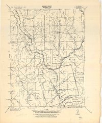
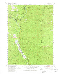
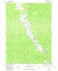
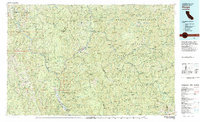
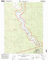
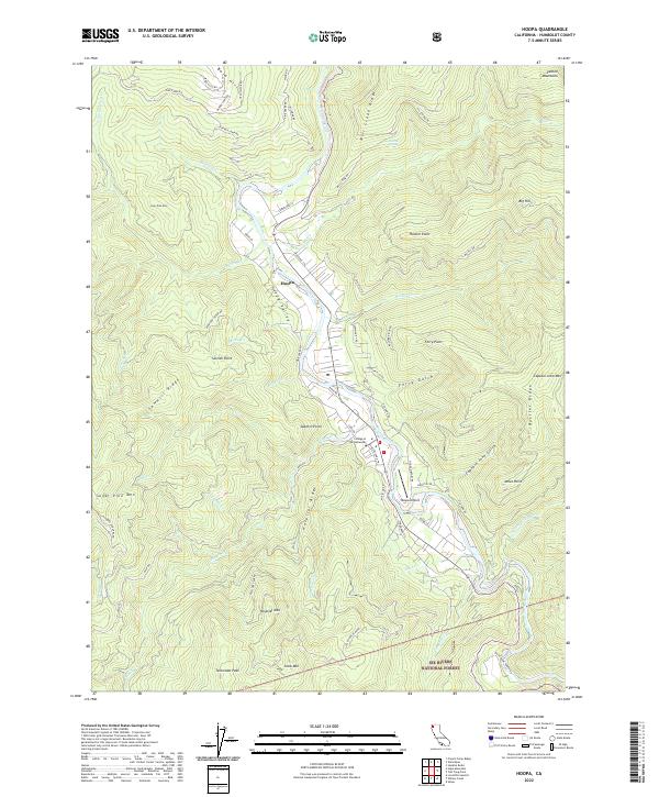
Hoopa Valley serves as the central corridor of this Humboldt County landscape, defined by the winding course of the Trinity Wild And Scenic River. The settlement of Hoopa is concentrated along the riverbanks, supported by infrastructure like the Hoopa Airport and the College of the Redwoods. Steep ridges rise sharply from the valley floor, including Hospital Ridge and Sawmill Ridge, illustrating the topographical isolation of this river-centered community. Much of the surrounding high ground, such as Snow Mtn and Telescope Peak, falls within the Six Rivers National Forest. This survey captures the modern road network, from Bald Hills RD to Tish Tang RD, which navigates the complex terrain of the Salmon Mountains and the various gulches and points that overlook the water.
Find a feature on this map
75 named features on this map. Tap any name to fly to it.
Don’t see what you’re looking for? This feature index may not catch every label — zoom into the map to look around manually.
Map Details
Editions of this 2022 Hoopa Map
This is the sole edition of this map. No revisions or reprints were ever made.
Historical Maps of dahk’isxa:nq’it Through Time
6 maps found