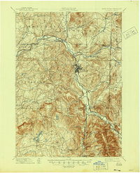
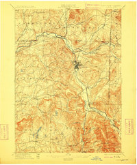
1897 Map of Hoosick
USGS Topo · Published 1945About this map
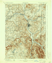
Hoosic River valley industry and rail corridors define this late 19th-century landscape at the border of New York and Vermont. The map focuses on the bustling hub of Hoosick Falls, where the river takes a sharp bend, surrounded by a dense network of competing rail lines including the Fitchburg R. R. and the Lebanon Springs R. R.. The terrain is deeply carved by water, with Shingle Hollow and Fox Hollow cutting through the uplands that separate the main valley from the plateau to the west.
Find a feature on this map
79 named features on this map. Tap any name to fly to it.
Don’t see what you’re looking for? This feature index may not catch every label — zoom into the map to look around manually.
Map Details
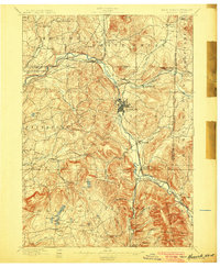
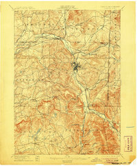
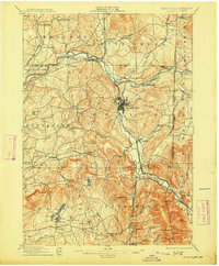
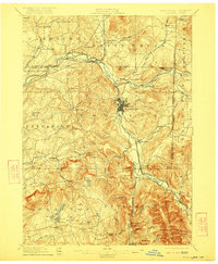
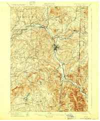
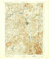
Editions of this 1897 Hoosick Map
10 editions found

Other maps of this area

1886 · Greylock
USGS Topo · 1:62,500

1888 · Berlin
USGS Topo · 1:62,500

1890 · Berlin
USGS Topo · 1:62,500

1891 · Greylock
USGS Topo · 1:62,500

1893 · Cohoes
USGS Topo · 1:62,500

1893 · Troy
USGS Topo · 1:62,500

1893 · Greylock
USGS Topo · 1:62,500

1894 · Berlin
USGS Topo · 1:62,500

1894 · Equinox
USGS Topo · 1:62,500

1895 · Troy
USGS Topo · 1:62,500