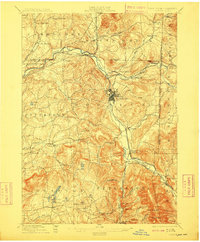
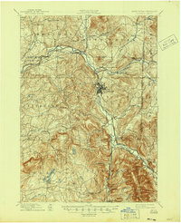
1897 Map of Hoosick
USGS Topo · Published 1909About this map
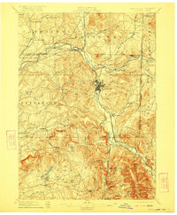
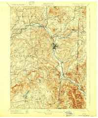
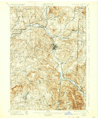
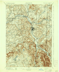
The Hoosic River valley serves as a primary corridor for settlement and industry on this late 19th-century sheet, where the substantial industrial hub at Hoosick Falls stands in contrast to the rural uplands of the Taconic region. The rail network is particularly dense, illustrating the importance of transport with the Fitchburg R R and the Lebanon Springs R R converging near Petersburg Junction. This intersection of rail lines facilitated the growth of small manufacturing centers like Walloomsac and North Hoosick along the Walloomsac River.
Find a feature on this map
74 named features on this map. Tap any name to fly to it.
Don’t see what you’re looking for? This feature index may not catch every label — zoom into the map to look around manually.
Map Details
Editions of this 1897 Hoosick Map
10 editions found

Other maps of this area

1886 · Greylock
USGS Topo · 1:62,500

1888 · Berlin
USGS Topo · 1:62,500

1890 · Berlin
USGS Topo · 1:62,500

1891 · Greylock
USGS Topo · 1:62,500

1893 · Cohoes
USGS Topo · 1:62,500

1893 · Troy
USGS Topo · 1:62,500

1893 · Greylock
USGS Topo · 1:62,500

1894 · Berlin
USGS Topo · 1:62,500

1894 · Equinox
USGS Topo · 1:62,500

1895 · Troy
USGS Topo · 1:62,500