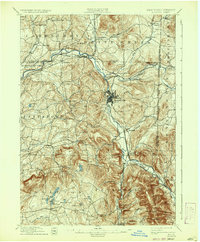
1897 Map of Hoosick
USGS Topo · Published 1937About this map
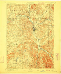
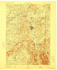
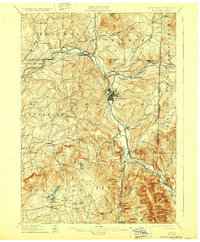
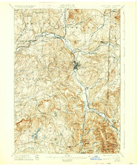
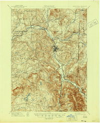
The Hoosic River valley serves as the industrial and transportation spine of this 1890s landscape, where multiple rail lines converge at critical river junctions. The manufacturing hub of Hoosick Falls dominates the central terrain, while the surrounding hills are dotted with smaller agricultural settlements and crossroads like Buskirk, Tiashoke, and Center White Post Corners. This era represents the peak of rural rail connectivity, shown through the dense network of the Fitchburg R. R. and the Lebanon Springs R. R. meeting at Petersburg Junction. To the south and west, the terrain rises into the highlands of Grafton, characterized by numerous water bodies including Babcock Pond and Long Pond, while the eastern edge follows the New York-Vermont boundary line along the shadows of Bald Mountain.
Find a feature on this map
75 named features on this map. Tap any name to fly to it.
Don’t see what you’re looking for? This feature index may not catch every label — zoom into the map to look around manually.
Map Details
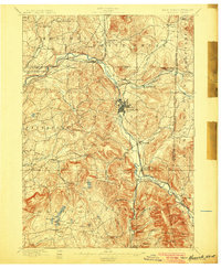
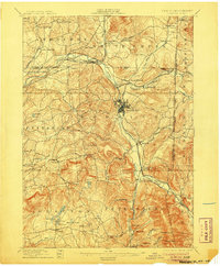
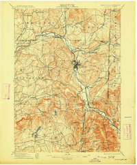
Editions of this 1897 Hoosick Map
10 editions found

Other maps of this area

1886 · Greylock
USGS Topo · 1:62,500

1888 · Berlin
USGS Topo · 1:62,500

1890 · Berlin
USGS Topo · 1:62,500

1891 · Greylock
USGS Topo · 1:62,500

1893 · Cohoes
USGS Topo · 1:62,500

1893 · Troy
USGS Topo · 1:62,500

1893 · Greylock
USGS Topo · 1:62,500

1894 · Berlin
USGS Topo · 1:62,500

1894 · Equinox
USGS Topo · 1:62,500

1895 · Troy
USGS Topo · 1:62,500